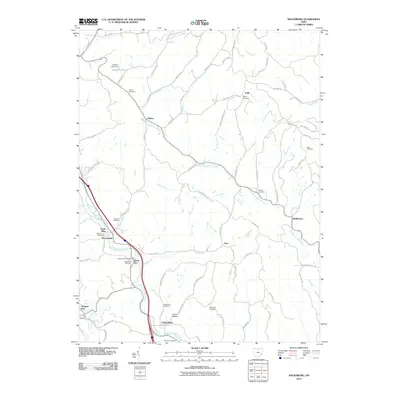
2010 Map of Macksburg
USGS Topo · Published 2010About this map
Middle Fork Duck Creek winds through the Noble County hills, anchoring a landscape of family-named ridges and small rural centers. This 2010 survey shows the area around Dexter City, where the Dexter City Post Office and local cemetery mark the community hub. Further south, the village of Macksburg sits near the junction of West Fork Duck Creek and Buffalo Run, surrounded by the elevations of Macksburg Hill.
Find a feature on this map
76 named features on this map. Tap any name to fly to it.
Don’t see what you’re looking for? This feature index may not catch every label — zoom into the map to look around manually.
Map Details
Editions of this 2010 Macksburg Map
This is the sole edition of this map. No revisions or reprints were ever made.
Other maps of this area

1903 · Macksburg
USGS Topo · 1:62,500

1905 · Macksburg
USGS Topo · 1:62,500

1909 · Caldwell
USGS Topo · 1:62,500

1909 · Summerfield
USGS Topo · 1:62,500

1911 · Cumberland
USGS Topo · 1:62,500

1911 · Summerfield
USGS Topo · 1:62,500

1912 · Caldwell
USGS Topo · 1:62,500

1949 · Clarksburg
USGS Topo · 1:250,000

1956 · Clarksburg
USGS Topo · 1:250,000

1961 · Clarksburg
USGS Topo · 1:250,000