
1958 Map of Macon
USGS Topo · Published 1958About this map
Macon serves as the focal point for this mid-century look at Middle Georgia, where the confluence of the Central of Georgia and Southern railroads meet a growing network of federal highways. The landscape transitions from the developed corridors of Warner Robins and the expansive Robins AFB to the agricultural river valleys of the Ocmulgee River and Oconee River. This 1950s perspective documents the region's infrastructure just as modern transit was beginning to redefine the space between established county seats like Dublin, Sandersville, and Swainsboro.
Find a feature on this map
60 named features on this map. Tap any name to fly to it.
Don’t see what you’re looking for? This feature index may not catch every label — zoom into the map to look around manually.
Map Details
Editions of this 1958 Macon Map
This is the sole edition of this map. No revisions or reprints were ever made.
Other maps of this area
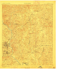
1912 · Milledgeville
USGS Topo · 1:62,500
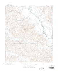
1916 · Irwinton
USGS Topo · 1:62,500
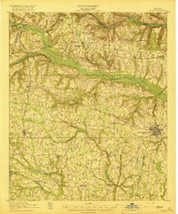
1919 · Gough
USGS Topo · 1:62,500
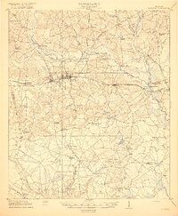
1919 · Claxton
USGS Topo · 1:62,500
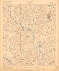
1920 · Statesboro
USGS Topo · 1:62,500
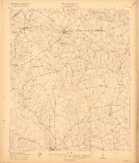
1920 · Stapleton
USGS Topo · 1:62,500
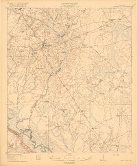
1920 · Glennville
USGS Topo · 1:62,500
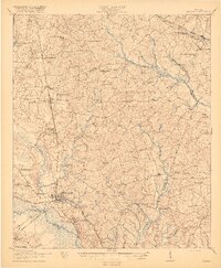
1920 · Millen
USGS Topo · 1:62,500
1920 · Greens Cut
USGS Topo · 1:62,500
1920 · Irwinton
USGS Topo · 1:62,500