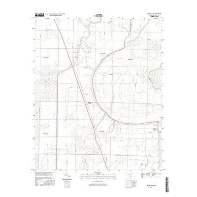
2017 Map of Macon Lake
USGS Topo · Published 2017About this map
Bayou Macon winds through this Chicot County landscape, defining the agricultural character of the region near the settlement of Macon Lake. The area is marked by a complex network of waterways, including W Boggy Bayou, E Boggy Bayou, and the Division Canal Number 1, reflecting a landscape heavily modified for drainage and irrigation. Small rural communities like Elmwood and Bowman anchor the map, while numerous family-named landmarks and local burial grounds suggest deep roots in the local soil. Genealogists may find value in the specific locations of Holly Grove Cem, Pleasant Green Cem, and Tolliver Cem. In the southeastern corner, Yellow Bayou flows near the edge of Panther Forest, illustrating the mix of cultivated delta land and remaining wooded breaks typical of this corner of Arkansas.
Find a feature on this map
55 named features on this map. Tap any name to fly to it.
Don’t see what you’re looking for? This feature index may not catch every label — zoom into the map to look around manually.
Map Details
Editions of this 2017 Macon Lake Map
This is the sole edition of this map. No revisions or reprints were ever made.
Other maps of this area

1933 · Lamont
USGS Topo · 1:62,500

1936 · McGehee
USGS Topo · 1:62,500

1936 · Lake Village
USGS Topo · 1:62,500

1937 · McGehee
USGS Topo · 1:62,500

1939 · Refuge
USGS Topo · 1:62,500

1939 · Lamont
USGS Topo · 1:62,500

1953 · Greenwood
USGS Topo · 1:250,000

1955 · Lake Village
USGS Topo · 1:62,500

1955 · McGehee
USGS Topo · 1:62,500

1956 · Greenwood
USGS Topo · 1:250,000