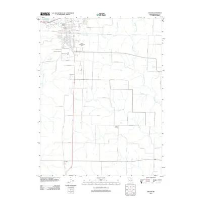
2012 Map of Macon
USGS Topo · Published 2012About this map
Macon serves as the focal point of this North Central Missouri landscape, situated atop the drainage divide between the Middle Fork Salt River to the east and the East Fork Little Chariton River to the west. The town’s growth is reflected in its numerous burial grounds, including Oakwood Cemetery and Saint Marys Cemetery, and the presence of the Macon-Fower Memorial Airport.
Find a feature on this map
72 named features on this map. Tap any name to fly to it.
Don’t see what you’re looking for? This feature index may not catch every label — zoom into the map to look around manually.
Map Details
Editions of this 2012 Macon Map
This is the sole edition of this map. No revisions or reprints were ever made.
Other maps of this area
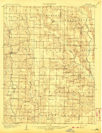
1908 · Atlanta
USGS Topo · 1:62,500
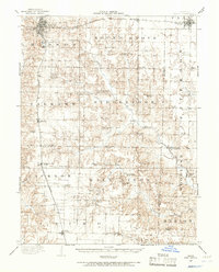
1908 · Macon
USGS Topo · 1:62,500
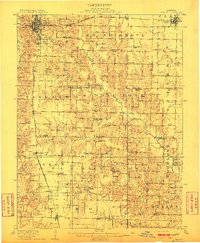
1910 · Macon
USGS Topo · 1:62,500
1937 · Elmer
USGS Topo · 1:48,000
1942 · Elmer
USGS Topo · 1:62,500
1953 · Moberly
USGS Topo · 1:250,000
1953 · Bevier South
USGS Topo · 1:24,000
1953 · College Mound
USGS Topo · 1:24,000
1954 · Moberly
USGS Topo · 1:250,000
1957 · Moberly
USGS Topo · 1:250,000