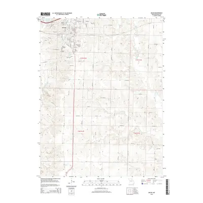
2014 Map of Macon
USGS Topo · Published 2014About this map
Macon serves as the focal point of this 2014 survey, displaying a dense residential and civic grid characterized by numerous historical sites. The northern section of the city is particularly dense with community landmarks, including Oakwood Cemetery, Woodlawn Cemetery, and East Woodlawn Cemetery, alongside Saint Marys Cemetery. These burial grounds, clustered near the city center, provide a significant resource for genealogists and local historians tracking the development of this Missouri community.
Find a feature on this map
57 named features on this map. Tap any name to fly to it.
Don’t see what you’re looking for? This feature index may not catch every label — zoom into the map to look around manually.
Map Details
Editions of this 2014 Macon Map
This is the sole edition of this map. No revisions or reprints were ever made.
Other maps of this area

1908 · Atlanta
USGS Topo · 1:62,500

1908 · Macon
USGS Topo · 1:62,500

1910 · Macon
USGS Topo · 1:62,500

1937 · Elmer
USGS Topo · 1:48,000

1942 · Elmer
USGS Topo · 1:62,500

1953 · Moberly
USGS Topo · 1:250,000

1953 · Bevier South
USGS Topo · 1:24,000

1953 · College Mound
USGS Topo · 1:24,000

1954 · Moberly
USGS Topo · 1:250,000

1957 · Moberly
USGS Topo · 1:250,000