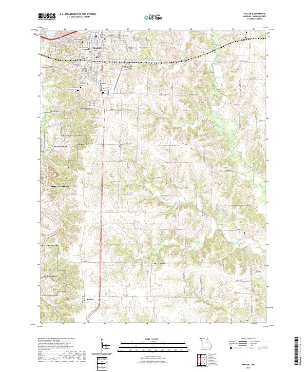
2021 Map of Macon
USGS Topo · Published 2021About this map
The Macon County Courthouse serves as the focal point for the city of Macon, where a dense network of residential streets like Locust St and Main St meet industrial development along Blees Industrial Dr. The town's historic footprint is clearly defined by a significant cluster of burial grounds, including Oakwood Cem, East Woodlawn Cem, and Saint Marys Cem. This concentration of cemeteries, paired with the prominent courthouse, reflects the long-standing role of this area as a regional civic and genealogical hub.
Find a feature on this map
97 named features on this map. Tap any name to fly to it.
Don’t see what you’re looking for? This feature index may not catch every label — zoom into the map to look around manually.
Map Details
Editions of this 2021 Macon Map
This is the sole edition of this map. No revisions or reprints were ever made.
Other maps of this area

1908 · Atlanta
USGS Topo · 1:62,500

1908 · Macon
USGS Topo · 1:62,500

1910 · Macon
USGS Topo · 1:62,500

1937 · Elmer
USGS Topo · 1:48,000

1942 · Elmer
USGS Topo · 1:62,500

1953 · Moberly
USGS Topo · 1:250,000

1953 · Bevier South
USGS Topo · 1:24,000

1953 · College Mound
USGS Topo · 1:24,000

1954 · Moberly
USGS Topo · 1:250,000

1957 · Moberly
USGS Topo · 1:250,000