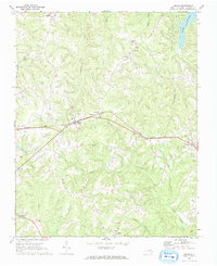
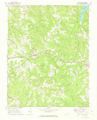
1970 Map of Macon
USGS Topo · Published 1973About this map
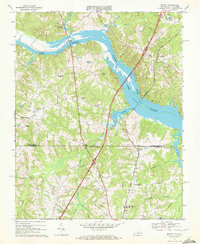
Macon serves as the central hub of this Warren County landscape, situated along the tracks of the Seaboard Coast Line railroad. The 1970 field survey illustrates a rural community anchored by small crossroads settlements and numerous country churches, including New Bethel Ch and Mt Zion Ch. The rail line, which also passes through Vaughan to the east, historically dictated the growth of these North Carolina towns. In the northeast corner, the shoreline of Lake Gaston appears at an elevation of 200 feet, where Hubquarter Creek and Lyons Creek flow into the reservoir. Family-named landmarks such as Walkers and Bobbitts Branch are scattered among the creek systems, while several burial grounds like Greenwood Cem and Pine Grove Cem provide essential data points for local genealogical research.
Find a feature on this map
28 named features on this map. Tap any name to fly to it.
Don’t see what you’re looking for? This feature index may not catch every label — zoom into the map to look around manually.
Map Details
Editions of this 1970 Macon Map
2 editions found
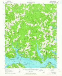
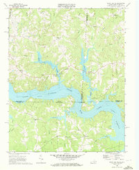
Other maps of this area

1919 · White Plains
USGS Topo · 1:48,000

1920 · White Plains
USGS Topo · 1:62,500

1953 · Norfolk
USGS Topo · 1:250,000

1953 · Greensboro
USGS Topo · 1:250,000

1954 · Greensboro
USGS Topo · 1:250,000

1962 · Greensboro
USGS Topo · 1:250,000
1963 · Gasburg
USGS Topo · 1:24,000

1966 · Greensboro
USGS Topo · 1:250,000
1968 · South Hill SE
USGS Topo · 1:24,000
1968 · Bracey
USGS Topo · 1:24,000