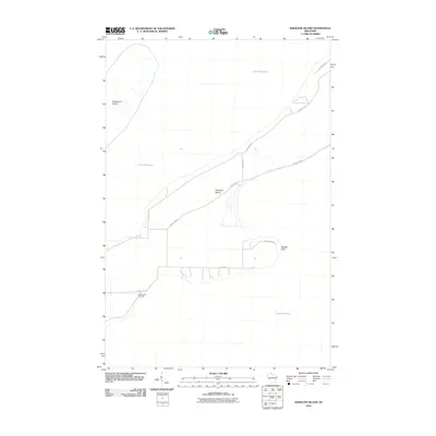
2010 Map of Madeline Island
USGS Topo · Published 2010About this map
Madeline Island sits surrounded by the waters of Lake Superior, serving as a central geographic anchor in this coastal Wisconsin survey. The map details the island's interior road network, where routes like County Hwy-H and Wilderness Rd connect various points along the shoreline. Toward the western edge, the land rises at Basswood Island, while the eastern extent is defined by the sharp protrusion of Big Bay Point.
Find a feature on this map
11 named features on this map. Tap any name to fly to it.
Don’t see what you’re looking for? This feature index may not catch every label — zoom into the map to look around manually.
Map Details
Editions of this 2010 Madeline Island Map
This is the sole edition of this map. No revisions or reprints were ever made.
Other maps of this area

1941 · Bayfield
USGS Topo · 1:48,000

1942 · Ashland
USGS Topo · 1:48,000

1943 · Odanah
USGS Topo · 1:48,000

1945 · Odanah
USGS Topo · 1:48,000

1946 · Bayfield
USGS Topo · 1:48,000

1947 · Ashland
USGS Topo · 1:48,000

1953 · Ashland
USGS Topo · 1:250,000

1958 · Ashland
USGS Topo · 1:250,000

1963 · Oak Island
USGS Topo · 1:24,000
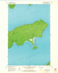
1963 · Stockton Island
USGS Topo · 1:24,000