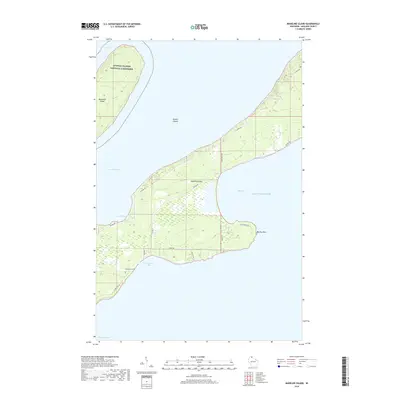
2018 Map of Madeline Island
USGS Topo · Published 2018About this map
Madeline Island dominates this portion of the Apostle Islands archipelago in Lake Superior, serving as a focal point for the region's coastal geography. The southern and central sections of the island are defined by a network of rural routes such as Big Bay Rd and S Shore Rd that connect local settlements and family-named landmarks. The presence of Greenwood Cem near Chebomnicon Bay offers a vital reference point for genealogists and local historians researching the island's long-term residents. Significant portions of the landscape, including parts of neighboring Basswood Island, fall within the Apostle Islands National Lakeshore, preserving the wild character of points like Big Bay Point. The island's position is framed by the deep waters of the North Channel and West Channel, illustrating its historical dependence on maritime navigation.
Find a feature on this map
24 named features on this map. Tap any name to fly to it.
Don’t see what you’re looking for? This feature index may not catch every label — zoom into the map to look around manually.
Map Details
Editions of this 2018 Madeline Island Map
This is the sole edition of this map. No revisions or reprints were ever made.
Other maps of this area

1941 · Bayfield
USGS Topo · 1:48,000

1942 · Ashland
USGS Topo · 1:48,000

1943 · Odanah
USGS Topo · 1:48,000

1945 · Odanah
USGS Topo · 1:48,000

1946 · Bayfield
USGS Topo · 1:48,000

1947 · Ashland
USGS Topo · 1:48,000

1953 · Ashland
USGS Topo · 1:250,000

1958 · Ashland
USGS Topo · 1:250,000

1963 · Oak Island
USGS Topo · 1:24,000
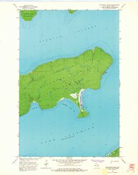
1963 · Stockton Island
USGS Topo · 1:24,000