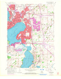
1959 Map of Madison East
USGS Topo · Published 1970About this map
Truax Field and the expanding suburbs of Madison define this mid-century portrait of Dane County. The landscape is characterized by the complex hydrology of the Yahara River chain, linking Lake Mendota, Lake Monona, and Lake Waubesa. Heavy industrial and municipal infrastructure, including a large Tank Farm and Sewage Disposal plants, sit adjacent to the marshy lowlands of Blooming Grove.
Find a feature on this map
66 named features on this map. Tap any name to fly to it.
Don’t see what you’re looking for? This feature index may not catch every label — zoom into the map to look around manually.
Map Details
Editions of this 1959 Madison East Map
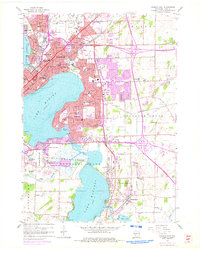
2 editions found
Other maps of this area

1889 · Evansville
USGS Topo · 1:62,500

1890 · Madison
USGS Topo · 1:62,500

1890 · Sun Prairie
USGS Topo · 1:62,500

1890 · Stoughton
USGS Topo · 1:62,500

1892 · Madison
USGS Topo · 1:62,500

1894 · Evansville
USGS Topo · 1:62,500

1896 · Sun Prairie
USGS Topo · 1:62,500

1904 · Madison
USGS Topo · 1:62,500

1905 · Sun Prairie
USGS Topo · 1:62,500

1906 · Evansville
USGS Topo · 1:62,500