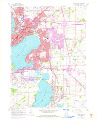
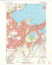
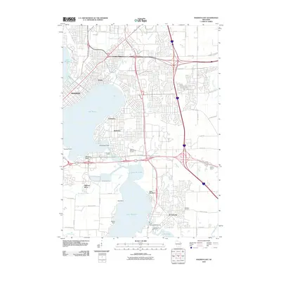
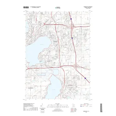
1959 Map of Madison East
USGS Topo · Published 1975About this map
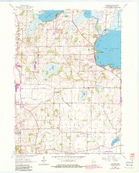
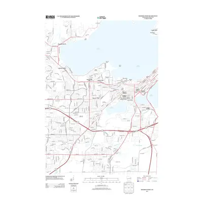
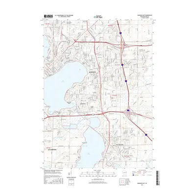
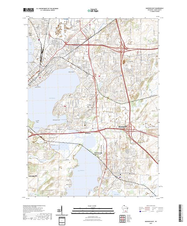
Truax Field and the expanding suburbs of Madison define the landscape of eastern Dane County during this mid-century period. The map documents a significant era of post-war growth, with residential developments pushing into Blooming Grove TWP and surrounding the shores of Lake Monona. This urbanization is evidenced by the high concentration of educational institutions established to serve the burgeoning population, including East Side High Sch, Monona Grove High Sch, and numerous parochial sites like St Bernards Sch.
Find a feature on this map
75 named features on this map. Tap any name to fly to it.
Don’t see what you’re looking for? This feature index may not catch every label — zoom into the map to look around manually.
Map Details
Editions of this 1959 Madison East Map
2 editions found
Historical Maps of Madison Through Time
45 maps found
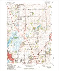
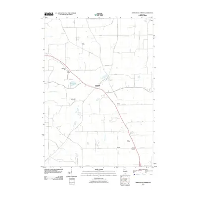
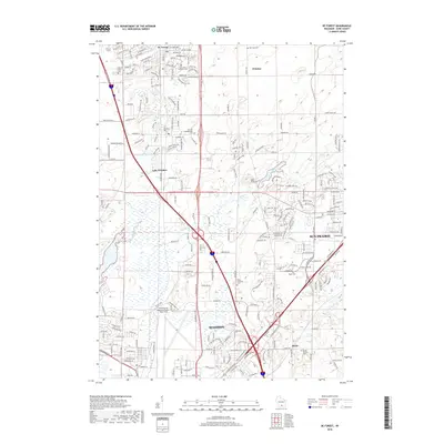
1959 De Forest
Dane County, WI
1959 Madison East
Dane County, WI
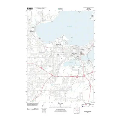
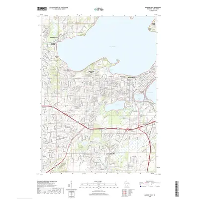
1959 Madison West
Dane County, WI
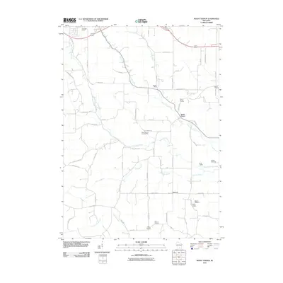
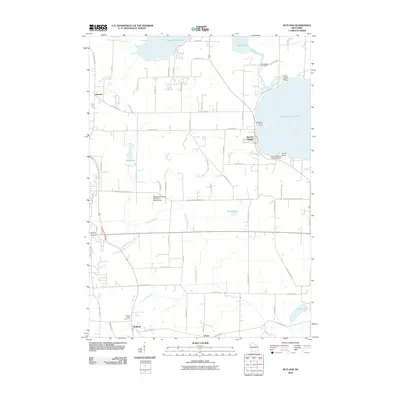
1961 Rutland
Dane County, WI
1962 Daleyville
Dane County, WI
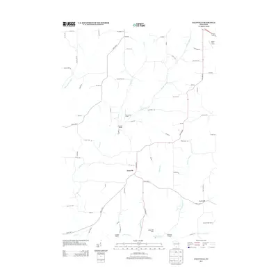
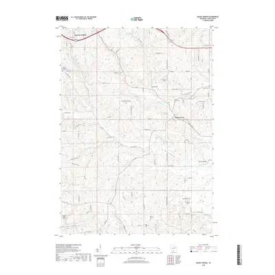
1962 Mt. Vernon
Dane County, WI
1962 Springfield Corners
Dane County, WI
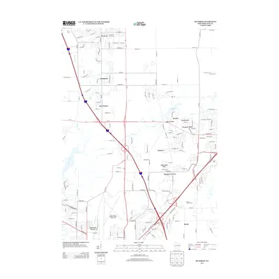
1983 De Forest
Dane County, WI

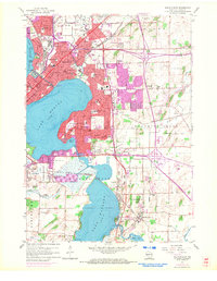
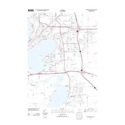
1983 Madison East
Dane County, WI
1983 Madison West
Dane County, WI
2010 Daleyville
Dane County, WI
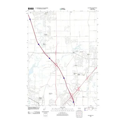
2010 De Forest
Dane County, WI
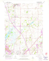
2010 Madison East
Dane County, WI
2010 Madison West
Dane County, WI
2010 Mount Vernon
Dane County, WI
2010 Rutland
Dane County, WI
2010 Springfield Corners
Dane County, WI
2013 Daleyville
Dane County, WI
2013 De Forest
Dane County, WI
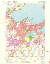
2013 Madison East
Dane County, WI
2013 Madison West
Dane County, WI
2013 Mount Vernon
Dane County, WI
2013 Rutland
Dane County, WI
2013 Springfield Corners
Dane County, WI
2016 Daleyville
Dane County, WI
2016 De Forest
Dane County, WI
2016 Madison East
Dane County, WI
2016 Madison West
Dane County, WI
2016 Mount Vernon
Dane County, WI
2016 Rutland
Dane County, WI
2016 Springfield Corners
Dane County, WI
2018 Daleyville
Dane County, WI
2018 De Forest
Dane County, WI
2018 Madison East
Dane County, WI
2018 Madison West
Dane County, WI
2018 Mount Vernon
Dane County, WI
2018 Rutland
Dane County, WI
2018 Springfield Corners
Dane County, WI
2022 Daleyville
Dane County, WI
2022 De Forest
Dane County, WI
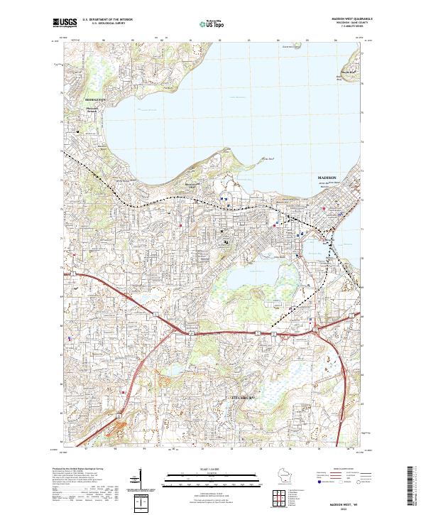
2022 Madison West
Dane County, WI
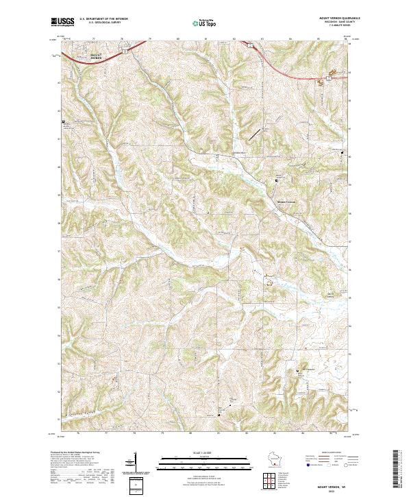
2022 Mount Vernon
Dane County, WI
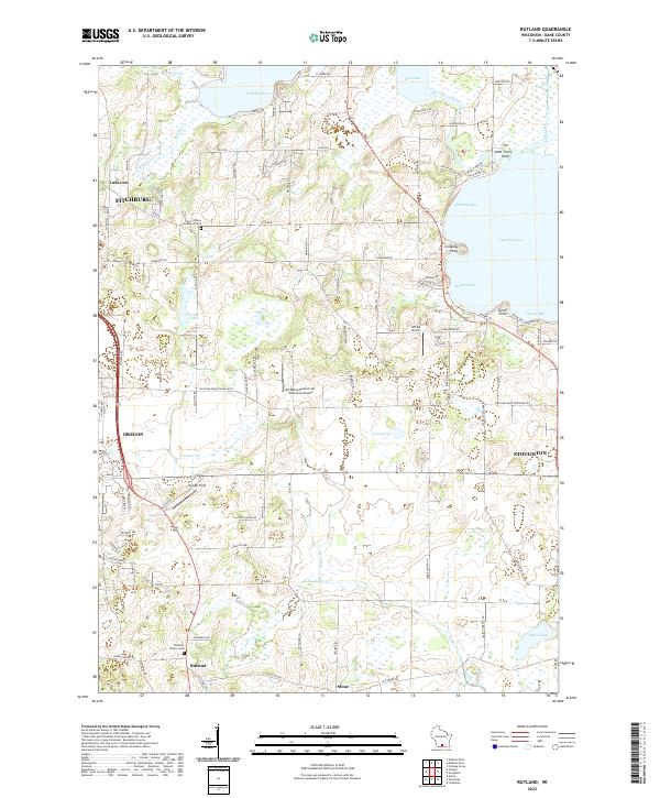
2022 Rutland
Dane County, WI
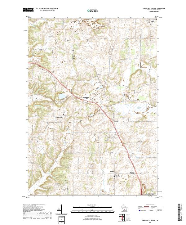
2022 Springfield Corners
Dane County, WI
2023 Madison East
Dane County, WI