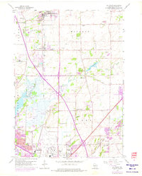
1959 Map of De Forest
USGS Topo · Published 1975About this map
The Yahara River and Token Creek define the landscape of northern Dane County, carving a path through the townships of Vienna, Windsor, and Burke. This mid-century view captures the transition of rural farming communities into a modern suburban and industrial network. Large installations like Truax Field and the emerging infrastructure around Madison sit alongside established landmarks such as the Norway Grove Ch and Burke Ch. The map highlights a high density of rural schoolhouses, including Wangsness Sch and Vincent Sch, reflecting the community-centered layout of the era before widespread school consolidation.
Find a feature on this map
56 named features on this map. Tap any name to fly to it.
Don’t see what you’re looking for? This feature index may not catch every label — zoom into the map to look around manually.
Map Details
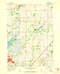
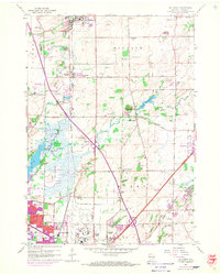
Editions of this 1959 De Forest Map
3 editions found
Other maps of this area

1890 · Madison
USGS Topo · 1:62,500

1890 · Sun Prairie
USGS Topo · 1:62,500

1892 · Madison
USGS Topo · 1:62,500

1896 · Sun Prairie
USGS Topo · 1:62,500

1901 · Poynette
USGS Topo · 1:62,500

1904 · Madison
USGS Topo · 1:62,500

1905 · Sun Prairie
USGS Topo · 1:62,500

1906 · Madison
USGS Topo · 1:62,500

1907 · Sun Prairie
USGS Topo · 1:62,500

1955 · Columbus
USGS Topo · 1:62,500