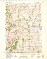
1962 Map of Springfield Corners
USGS Topo · Published 1970About this map
Glacial topography and small-scale agriculture define this pocket of Dane County, where the transition between the rolling hills of Roxbury and the drainage of Waunakee Marsh is marked by a network of gravel excavations. The settlement of Springfield Corners serves as a central junction, surrounded by rural community landmarks like Springfield Sch and the Kohlman Cem. The map illustrates a landscape of working lands, with numerous Quarries and Gravel Pits scattered near the headwaters of Sixmile Creek and Pheasant Branch.
Find a feature on this map
24 named features on this map. Tap any name to fly to it.
Don’t see what you’re looking for? This feature index may not catch every label — zoom into the map to look around manually.
Map Details
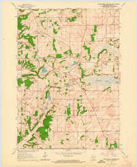
Editions of this 1962 Springfield Corners Map
2 editions found
Other maps of this area

1890 · Madison
USGS Topo · 1:62,500

1892 · Madison
USGS Topo · 1:62,500

1895 · Baraboo
USGS Topo · 1:62,500

1901 · Poynette
USGS Topo · 1:62,500

1904 · Madison
USGS Topo · 1:62,500

1906 · Madison
USGS Topo · 1:62,500

1907 · Cross Plains
USGS Topo · 1:62,500

1908 · Baraboo
USGS Topo · 1:62,500

1909 · Cross Plains
USGS Topo · 1:62,500

1957 · Madison
USGS Topo · 1:250,000