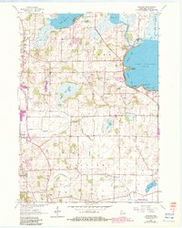
1961 Map of Rutland
USGS Topo · Published 1983About this map
Lake Kegonsa and Lake Waubesa anchor the northern landscape of this Dane County study, where the Yahara River connects a chain of glacial water bodies. The terrain reflects a post-war transition, balancing agricultural townlands with emerging recreational and suburban infrastructure. Specialized transportation hubs like the Quams Marina Seaplane Base on Barbers Bay and the Hoonch-Na-Shee-Kaw Airport southwest of Oregon indicate the era's diversifying aviation and leisure needs.
Find a feature on this map
38 named features on this map. Tap any name to fly to it.
Don’t see what you’re looking for? This feature index may not catch every label — zoom into the map to look around manually.
Map Details
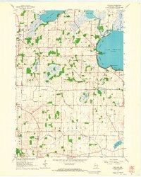
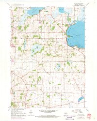
Editions of this 1961 Rutland Map
3 editions found
Other maps of this area

1889 · Evansville
USGS Topo · 1:62,500

1890 · Madison
USGS Topo · 1:62,500

1890 · Sun Prairie
USGS Topo · 1:62,500

1890 · Stoughton
USGS Topo · 1:62,500

1892 · Madison
USGS Topo · 1:62,500

1894 · Evansville
USGS Topo · 1:62,500

1896 · Sun Prairie
USGS Topo · 1:62,500

1904 · Madison
USGS Topo · 1:62,500

1905 · Sun Prairie
USGS Topo · 1:62,500

1906 · Evansville
USGS Topo · 1:62,500