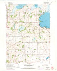
1961 Map of Rutland
USGS Topo · Published 1970About this map
The Yahara River system anchors this landscape, connecting the glacial waters of Lake Waubesa and Lake Kegonsa in southeastern Dane County. The 1960s terrain is marked by a blend of agricultural prairie and specialized transportation, ranging from the Chicago and North Western railway lines to the Quams Marina Seaplane Base on Barbers Bay. Local education and community life are grounded in landmarks like Oakside Sch and Lakeside Sch, while the rural identity of Rutland is preserved through the Rutland Center Cem.
Find a feature on this map
39 named features on this map. Tap any name to fly to it.
Don’t see what you’re looking for? This feature index may not catch every label — zoom into the map to look around manually.
Map Details
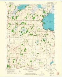
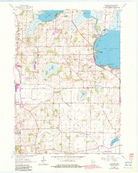
Editions of this 1961 Rutland Map
3 editions found
Other maps of this area

1889 · Evansville
USGS Topo · 1:62,500

1890 · Madison
USGS Topo · 1:62,500

1890 · Sun Prairie
USGS Topo · 1:62,500

1890 · Stoughton
USGS Topo · 1:62,500

1892 · Madison
USGS Topo · 1:62,500

1894 · Evansville
USGS Topo · 1:62,500

1896 · Sun Prairie
USGS Topo · 1:62,500

1904 · Madison
USGS Topo · 1:62,500

1905 · Sun Prairie
USGS Topo · 1:62,500

1906 · Evansville
USGS Topo · 1:62,500