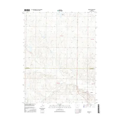
2015 Map of Madison
USGS Topo · Published 2015About this map
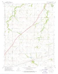
Madison stands at the confluence of several branches of the Verdigris River, serving as a central hub in this agrarian landscape along the border of Lyon and Greenwood counties. The map illustrates a meticulously organized grid of section roads, including Co Rd 101 and 360th St, that connect scattered farmsteads and rural landmarks. To the north, the settlement of Olpe is positioned near the Olpe City Lake, while the surrounding terrain is defined by the winding paths of Rock Creek and Kelly Br. For the local historian or genealogist, the placement of Zion Cem, Line Cem, and Blakely Cem offers precise points for tracing early family plots within the townships. The drainage patterns of the N Br Verdigris River and S Br Verdigris River reveal the natural topography that has dictated the placement of roads and homesteads for generations.
Find a feature on this map
37 named features on this map. Tap any name to fly to it.
Don’t see what you’re looking for? This feature index may not catch every label — zoom into the map to look around manually.
Map Details
Editions of this 2015 Madison Map
This is the sole edition of this map. No revisions or reprints were ever made.
Other maps of this area

1888 · Emporia
USGS Topo · 1:125,000

1894 · Emporia
USGS Topo · 1:125,000

1955 · Hutchinson
USGS Topo · 1:250,000

1959 · Hutchinson
USGS Topo · 1:250,000

1967 · Madison SW
USGS Topo · 1:24,000
1967 · Thrall
USGS Topo · 1:24,000
1967 · Lamont
USGS Topo · 1:24,000
1973 · Olpe
USGS Topo · 1:24,000

1973 · Shaw Creek
USGS Topo · 1:24,000
1973 · Phenis Creek
USGS Topo · 1:24,000