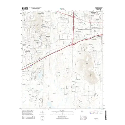
2014 Map of Madison
USGS Topo · Published 2014About this map
Madison and Huntsville anchor this 2014 survey, illustrating the significant urban expansion of the Tennessee Valley. The landscape is characterized by a mix of residential developments like Indian Hills and Skyline Acres alongside the specialized installations of the Redstone Army Airfield. The prominence of the Univ of Alabama in Huntsville near the eastern edge marks the region as a hub of education and aerospace research.
Find a feature on this map
65 named features on this map. Tap any name to fly to it.
Don’t see what you’re looking for? This feature index may not catch every label — zoom into the map to look around manually.
Map Details
Editions of this 2014 Madison Map
This is the sole edition of this map. No revisions or reprints were ever made.
Other maps of this area

1888 · Huntsville
USGS Topo · 1:125,000

1892 · Huntsville
USGS Topo · 1:125,000

1936 · Jeff
USGS Topo · 1:24,000

1936 · Capshaw
USGS Topo · 1:24,000

1936 · Triana
USGS Topo · 1:24,000

1936 · Madison
USGS Topo · 1:24,000

1936 · Meridianville
USGS Topo · 1:24,000

1936 · Mason Ridge
USGS Topo · 1:24,000

1936 · Greenbrier
USGS Topo · 1:24,000

1936 · Farley
USGS Topo · 1:24,000