Loading...
Loading map...2024 Map of Madison
USGS Topo · Published 2024About this map
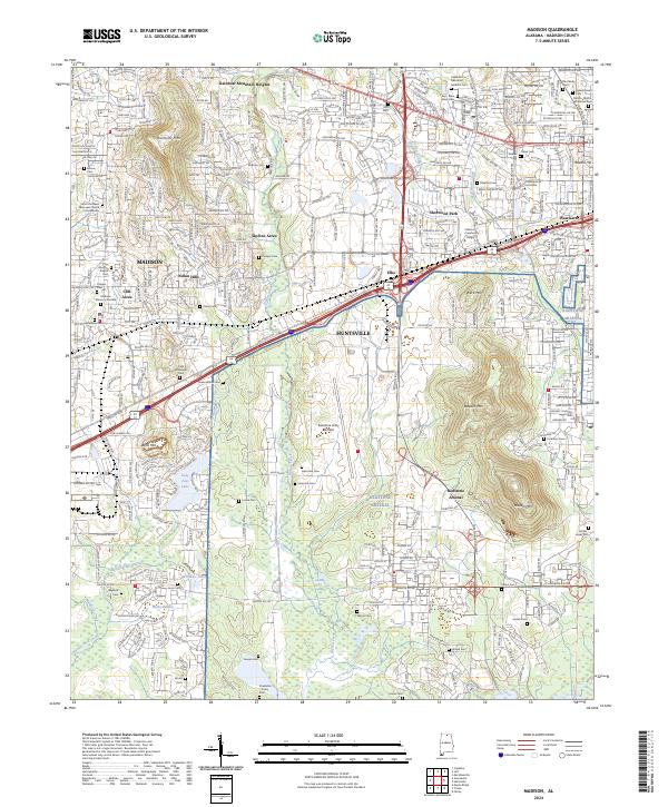
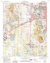
Redstone Arsenal and the sprawling Wheeler National Wildlife Refuge dominate the southern half of this modern topographical survey, illustrating the significant federal footprint in the Tennessee Valley. The landscape transitions from the protected wetlands and swamps of the refuge, such as Bailey Swamp, to the high-density infrastructure of the Redstone Army Airfield and the urban expansion of Madison and Huntsville.
Find a feature on this map
76 named features on this map. Tap any name to fly to it.
Don’t see what you’re looking for? This feature index may not catch every label — zoom into the map to look around manually.
Map Details
Date Portrayed2024
Date Published2024
PublisherU.S. Geological Survey
Map TypeTopographic
Scale1:24000
Physical Dimensions24 x 29 inches
Editions of this 2024 Madison Map
This is the sole edition of this map. No revisions or reprints were ever made.
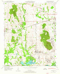
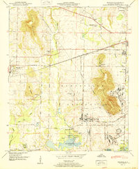
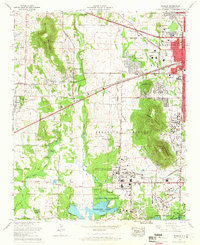
Historical Maps of Indian Hills Through Time
6 maps found

Featured Locations
Source Details
SourceU.S. Geological Survey
CopyrightPublic Domain