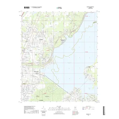
2018 Map of Madison
USGS Topo · Published 2018About this map
Ross R Barnett Reservoir dominates the eastern half of this landscape, its expansive waters meeting the shoreline at Ridgeland and Madison. This 2018 survey reveals a suburban corridor defined by modern residential expansion alongside legacy landmarks. The Natchez Trace Parkway curves through the center of the sheet, providing a corridor of green space that separates established neighborhoods from the reservoir's edge.
Find a feature on this map
210 named features on this map. Tap any name to fly to it.
Don’t see what you’re looking for? This feature index may not catch every label — zoom into the map to look around manually.
Map Details
Editions of this 2018 Madison Map
This is the sole edition of this map. No revisions or reprints were ever made.
Other maps of this area

1903 · Jackson
USGS Topo · 1:125,000

1905 · Jackson
USGS Topo · 1:48,000

1908 · Jackson
USGS Topo · 1:62,500

1922 · Pelahatchee
USGS Topo · 1:48,000

1924 · Pelahatchee
USGS Topo · 1:62,500

1950 · Pelahatchie
USGS Topo · 1:62,500

1952 · Pelahatchie
USGS Topo · 1:62,500

1953 · Meridian
USGS Topo · 1:250,000

1955 · Jackson
USGS Topo · 1:250,000

1957 · Meridian
USGS Topo · 1:250,000