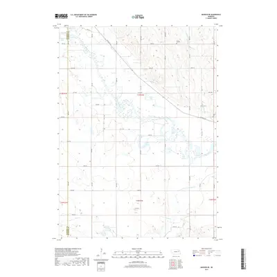
2017 Map of Madison NE
USGS Topo · Published 2017About this map
The Elkhorn River meanders across this Stanton County landscape, its broad floodplain marked by numerous oxbow lakes and wetlands. This 2017 survey reveals a rural territory where water dictates the geography, from the Lehman Lake in the northwest to the Pillar Lake and Loes Lake systems further downstream. Tributaries like Union Cr, Sand Cr, and the appropriately named Pleasant Run feed into the main river channel, while the Greuson Reservoir provides localized water management in the south.
Find a feature on this map
30 named features on this map. Tap any name to fly to it.
Don’t see what you’re looking for? This feature index may not catch every label — zoom into the map to look around manually.
Map Details
Editions of this 2017 Madison NE Map
This is the sole edition of this map. No revisions or reprints were ever made.
Other maps of this area

1955 · Sioux City
USGS Topo · 1:250,000

1955 · Fremont
USGS Topo · 1:250,000

1957 · Fremont
USGS Topo · 1:250,000

1958 · Sioux City
USGS Topo · 1:250,000

1958 · Fremont
USGS Topo · 1:250,000

1959 · Sioux City
USGS Topo · 1:250,000

1963 · Madison
USGS Topo · 1:24,000

1963 · Hoskins
USGS Topo · 1:24,000

1963 · Madison SE
USGS Topo · 1:24,000

1963 · Wayne SW
USGS Topo · 1:24,000