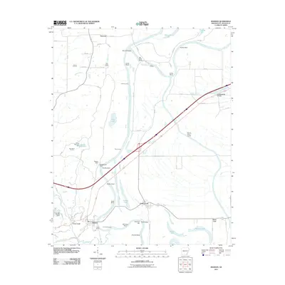
2011 Map of Madison
USGS Topo · Published 2011About this map
The Saint-Francis-River winds through a landscape of tight bends and riverbank landmarks in this 2011 survey of St. Francis County. The topography is defined by the river's dynamic path, including the Round Pond Cutoff and numerous named bends like Houston Bend and Merriman Bend. These water features historically dictated the placement of early infrastructure, such as Andrews Landing and Crow Creek Crossing.
Find a feature on this map
85 named features on this map. Tap any name to fly to it.
Don’t see what you’re looking for? This feature index may not catch every label — zoom into the map to look around manually.
Map Details
Editions of this 2011 Madison Map
This is the sole edition of this map. No revisions or reprints were ever made.
Other maps of this area

1939 · Park Place
USGS Topo · 1:62,500

1939 · Wynne
USGS Topo · 1:62,500

1940 · Whitmore
USGS Topo · 1:62,500

1940 · Marianna
USGS Topo · 1:62,500

1948 · Helena
USGS Topo · 1:250,000

1950 · Helena
USGS Topo · 1:250,000

1953 · Memphis
USGS Topo · 1:250,000

1955 · Park Place
USGS Topo · 1:62,500

1955 · Helena
USGS Topo · 1:250,000

1956 · Memphis
USGS Topo · 1:250,000