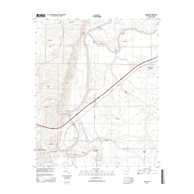
2014 Map of Madison
USGS Topo · Published 2014About this map
Saint Francis River dominates the eastern landscape of St. Francis County, carving a serpentine path through the Arkansas delta. The geography here is defined by the sharp contrast between the low-lying wetlands and the prominent elevation of Crowley Ridge, which rises to the west of the river's main channel. This topographic variation has historically dictated the settlement patterns of the region, concentrating rural communities and infrastructure on the higher ground.
Find a feature on this map
47 named features on this map. Tap any name to fly to it.
Don’t see what you’re looking for? This feature index may not catch every label — zoom into the map to look around manually.
Map Details
Editions of this 2014 Madison Map
This is the sole edition of this map. No revisions or reprints were ever made.
Other maps of this area

1939 · Park Place
USGS Topo · 1:62,500

1939 · Wynne
USGS Topo · 1:62,500

1940 · Whitmore
USGS Topo · 1:62,500

1940 · Marianna
USGS Topo · 1:62,500

1948 · Helena
USGS Topo · 1:250,000

1950 · Helena
USGS Topo · 1:250,000

1953 · Memphis
USGS Topo · 1:250,000

1955 · Park Place
USGS Topo · 1:62,500

1955 · Helena
USGS Topo · 1:250,000

1956 · Memphis
USGS Topo · 1:250,000