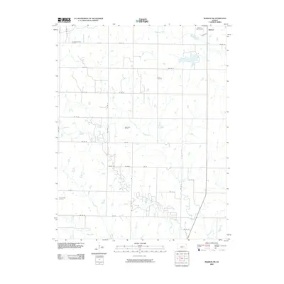
2009 Map of Madison SW
USGS Topo · Published 2009About this map
Woods Cemetery and Prairie Chapel Cemetery stand as quiet landmarks within this rural Kansas landscape, documenting the local heritage southwest of Madison. The area's economic history is marked by significant energy production, notably at the De Malorie-Sowder Oil Field in the northwest and the Seeley-Wick Oil Field further south. This region is defined by its complex drainage network, where numerous waterways including Holderman Creek, Willow Creek, and Onion Creek carve through the sectioned agricultural lands. The organized grid of township roads, such as Twp Rd 92 and Twp Rd 100, provides clear evidence of the long-standing rectangular survey system. Along the southern reaches, Indian Creek and Slate Creek traverse the terrain, while the Madison Golf Course near the northern border indicates the proximity of the town center just off the map's edge.
Find a feature on this map
40 named features on this map. Tap any name to fly to it.
Don’t see what you’re looking for? This feature index may not catch every label — zoom into the map to look around manually.
Map Details
Editions of this 2009 Madison SW Map
This is the sole edition of this map. No revisions or reprints were ever made.
Other maps of this area

1885 · Eureka
USGS Topo · 1:125,000

1888 · Emporia
USGS Topo · 1:125,000

1888 · Eureka
USGS Topo · 1:125,000

1894 · Emporia
USGS Topo · 1:125,000

1894 · Eureka
USGS Topo · 1:125,000

1955 · Wichita
USGS Topo · 1:250,000

1955 · Hutchinson
USGS Topo · 1:250,000

1958 · Wichita
USGS Topo · 1:250,000

1959 · Hutchinson
USGS Topo · 1:250,000

1967 · Madison SW
USGS Topo · 1:24,000