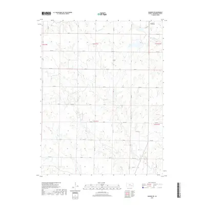
2018 Map of Madison SW
USGS Topo · Published 2018About this map
Madison occupies the northeastern corner of this Flint Hills landscape, where the prairie is defined by a dense network of meandering stream valleys. Tributaries such as Holderman Cr and Willow Creek carve through the terrain, creating a complex drainage pattern that has historically influenced the placement of rural roads and homesteads. The map reveals a strictly maintained section-line road grid, including 350th St and 300 Road, which must navigate the undulating elevations between these watercourses. For local historians and genealogists, the placement of Woods Cem in the northern portion of the quadrangle provides a specific point of reference for early family settlements in the area. Further south, the landscape is shaped by the winding paths of Onion Cr and Indian Cr, illustrating the transition from township development to the open grasslands characteristic of Greenwood County.
Find a feature on this map
41 named features on this map. Tap any name to fly to it.
Don’t see what you’re looking for? This feature index may not catch every label — zoom into the map to look around manually.
Map Details
Editions of this 2018 Madison SW Map
This is the sole edition of this map. No revisions or reprints were ever made.
Other maps of this area

1885 · Eureka
USGS Topo · 1:125,000

1888 · Emporia
USGS Topo · 1:125,000

1888 · Eureka
USGS Topo · 1:125,000

1894 · Emporia
USGS Topo · 1:125,000

1894 · Eureka
USGS Topo · 1:125,000

1955 · Wichita
USGS Topo · 1:250,000

1955 · Hutchinson
USGS Topo · 1:250,000

1958 · Wichita
USGS Topo · 1:250,000

1959 · Hutchinson
USGS Topo · 1:250,000

1967 · Madison SW
USGS Topo · 1:24,000