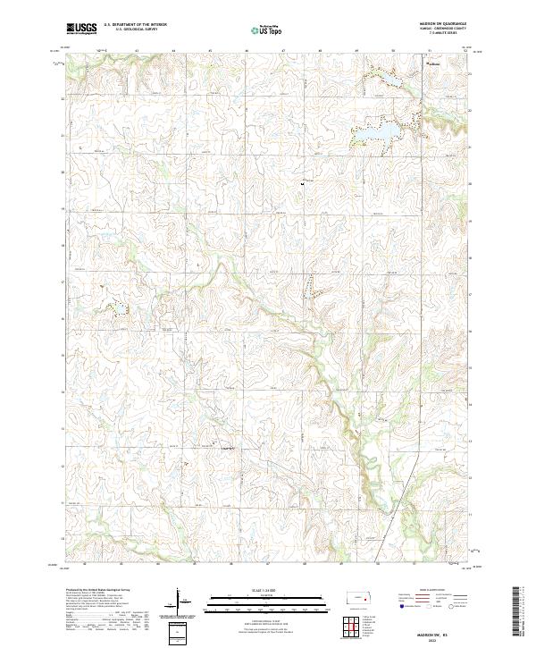
2022 Map of Madison SW
USGS Topo · Published 2022About this map
Madison sits at the northern edge of this Greenwood County landscape, where the prairie begins to ripple with the drainages of the Flint Hills region. The terrain is defined by a dense network of seasonal and permanent watercourses, including Holderman Cr and multiple branches of Willow Creek that carve through the limestone-underlaid soil. This 2022 survey captures the enduring rural character of the area, where the section-line road system remains the primary infrastructure for agricultural life. A notable point for genealogical research is Woods Cem, situated in the northern half of the quadrangle. The land is largely organized around creek valleys such as Onion Cr and Indian Cr, which dictate the placement of local routes like Twp Rd 90 and 350th St, reflecting a settlement pattern deeply tied to the natural hydrology of the Kansas plains.
Find a feature on this map
46 named features on this map. Tap any name to fly to it.
Don’t see what you’re looking for? This feature index may not catch every label — zoom into the map to look around manually.
Map Details
Editions of this 2022 Madison SW Map
This is the sole edition of this map. No revisions or reprints were ever made.
Other maps of this area

1885 · Eureka
USGS Topo · 1:125,000

1888 · Emporia
USGS Topo · 1:125,000

1888 · Eureka
USGS Topo · 1:125,000

1894 · Emporia
USGS Topo · 1:125,000

1894 · Eureka
USGS Topo · 1:125,000

1955 · Wichita
USGS Topo · 1:250,000

1955 · Hutchinson
USGS Topo · 1:250,000

1958 · Wichita
USGS Topo · 1:250,000

1959 · Hutchinson
USGS Topo · 1:250,000

1967 · Madison SW
USGS Topo · 1:24,000