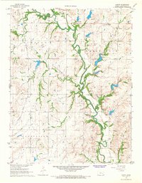
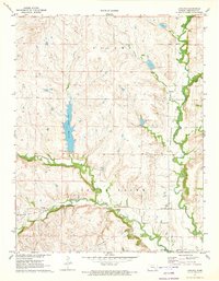
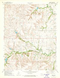
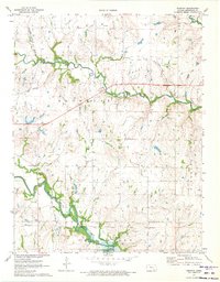
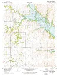
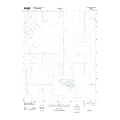
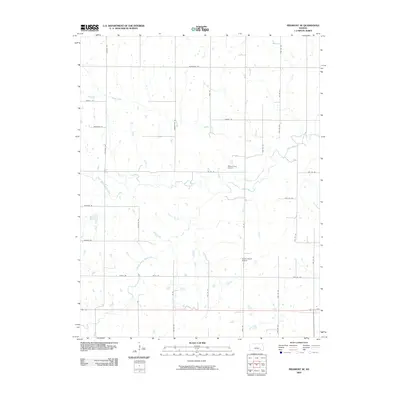
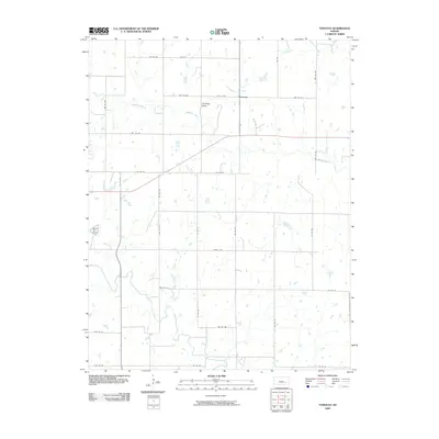
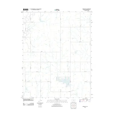
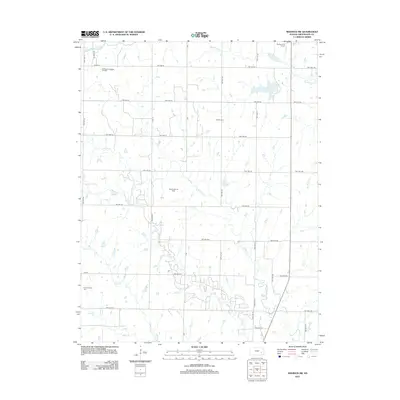
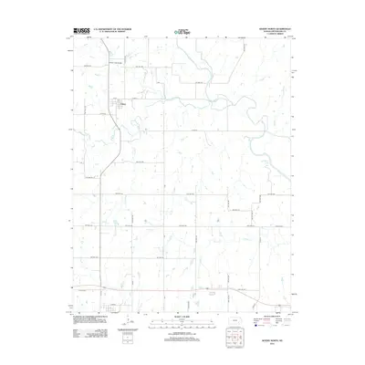
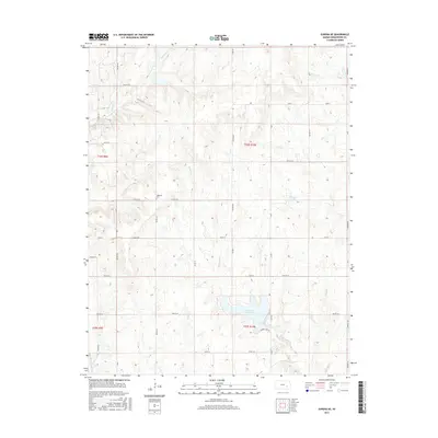
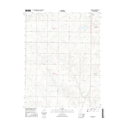
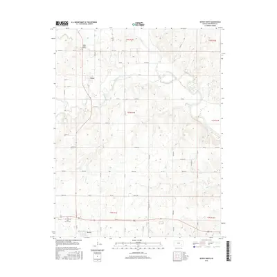
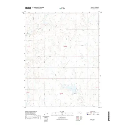
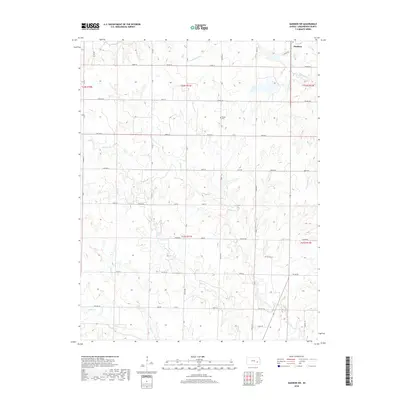
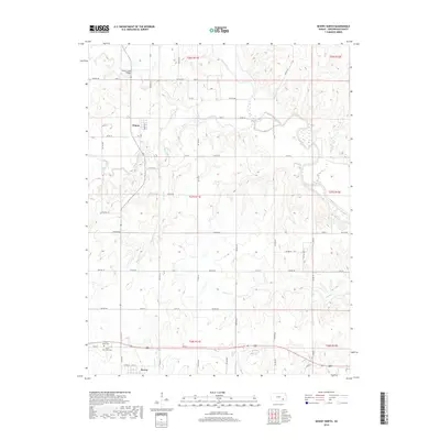
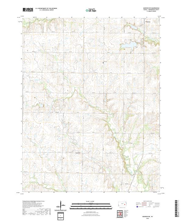
1967 Map of Madison SW
USGS Topo · Published 1985About this map
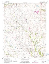
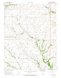
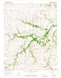
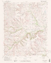
The Seeley-Wick Oil Field and Madison Field dominate this portion of Greenwood County, reflecting the deep integration of the petroleum industry into the Kansas prairie during the mid-to-late 20th century. Numerous oil wells and a network of pipelines are mapped across the rolling landscape, intersecting with natural watercourses like the South Branch Verdigris River and Willow Creek.
Find a feature on this map
20 named features on this map. Tap any name to fly to it.
Don’t see what you’re looking for? This feature index may not catch every label — zoom into the map to look around manually.
Map Details
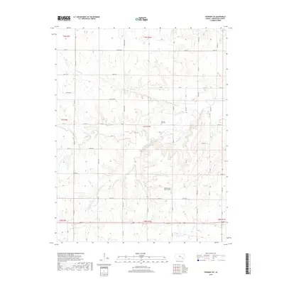
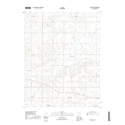
Editions of this 1967 Madison SW Map
2 editions found
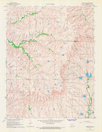
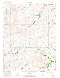
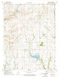
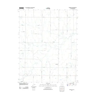
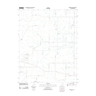
Historical Maps of Madison Through Time
72 maps found
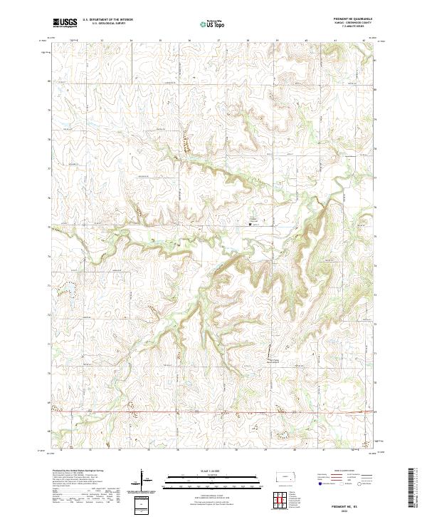
1964 Piedmont NE
Greenwood County, KS
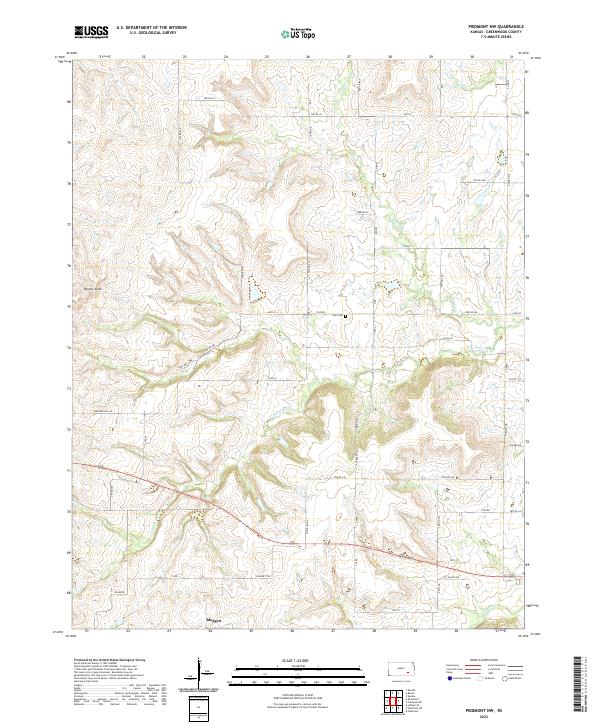
1964 Piedmont NW
Greenwood County, KS
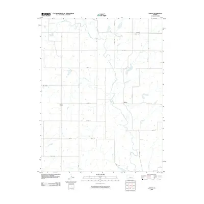
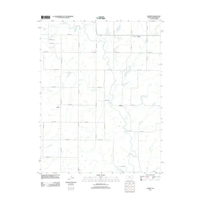
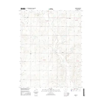
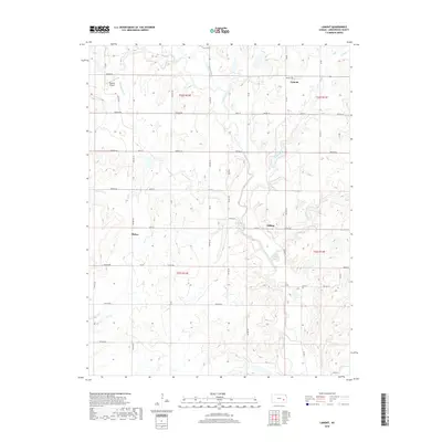
1967 Lamont
Greenwood County, KS
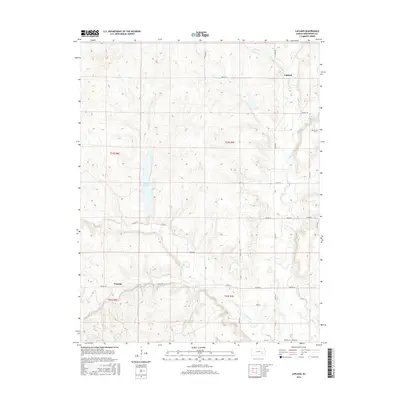
1967 Madison SW
Greenwood County, KS
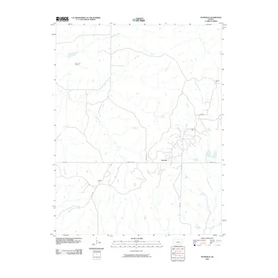
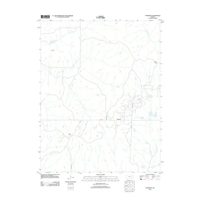
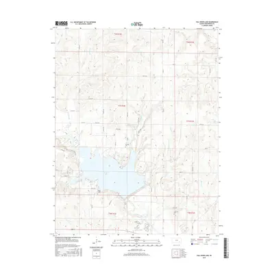
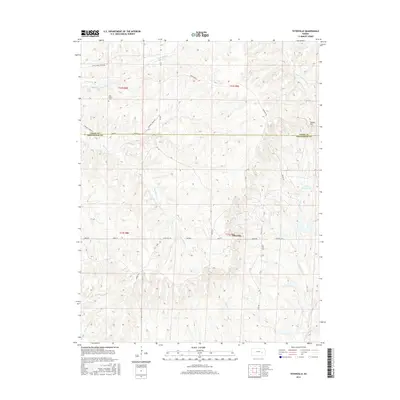
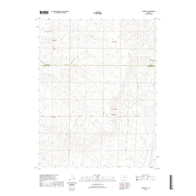
1967 Teterville
Greenwood County, KS
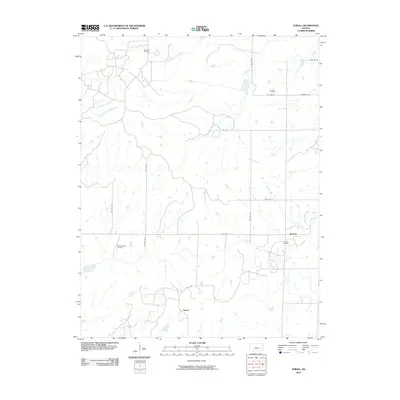
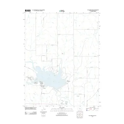
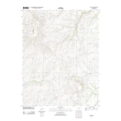
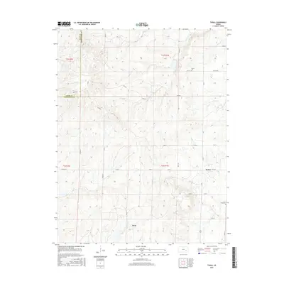
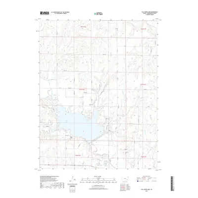
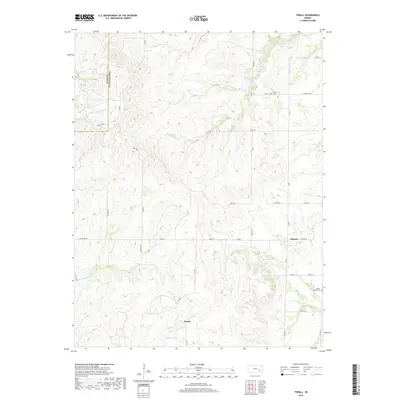
1967 Thrall
Greenwood County, KS
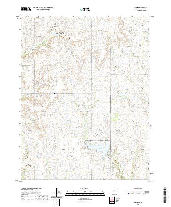
1971 Eureka NE
Greenwood County, KS
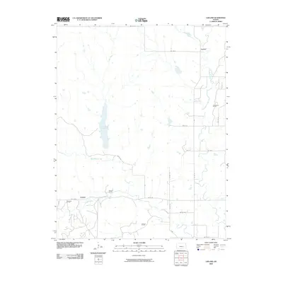
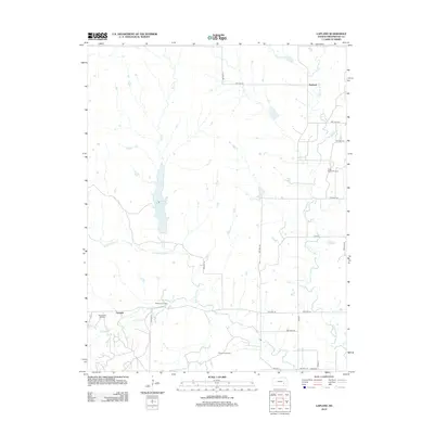
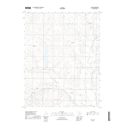
1971 Lapland
Greenwood County, KS
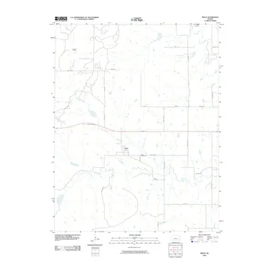
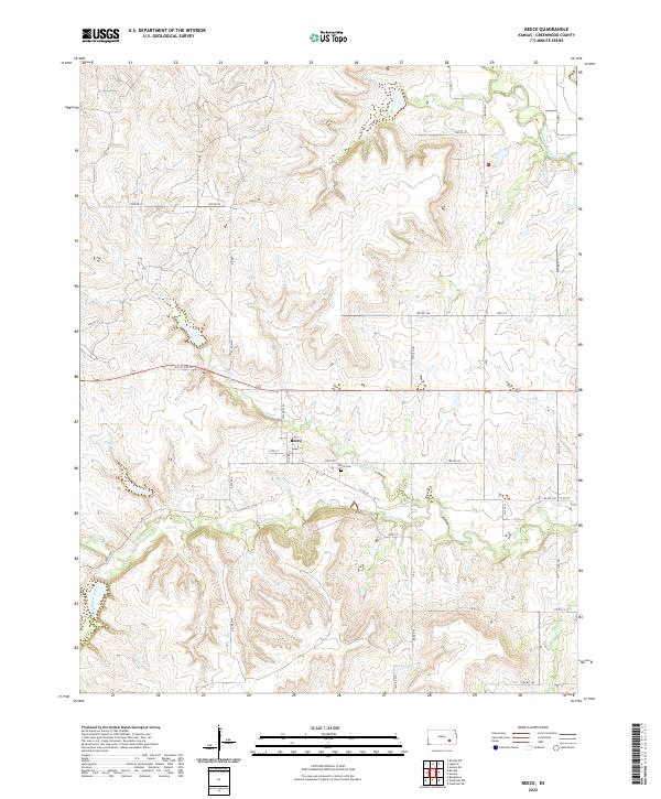
1971 Reece
Greenwood County, KS
1971 Tonovay
Greenwood County, KS

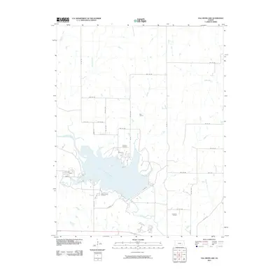
1975 Fall River Lake
Greenwood County, KS
1975 Severy North
Greenwood County, KS
2009 Eureka NE
Greenwood County, KS
2009 Lamont
Greenwood County, KS
2009 Lapland
Greenwood County, KS
2009 Madison SW
Greenwood County, KS
2009 Piedmont NE
Greenwood County, KS
2009 Reece
Greenwood County, KS
2009 Teterville
Greenwood County, KS
2009 Thrall
Greenwood County, KS
2009 Tonovay
Greenwood County, KS
2010 Fall River Lake
Greenwood County, KS
2010 Piedmont NW
Greenwood County, KS
2010 Severy North
Greenwood County, KS
2012 Eureka NE
Greenwood County, KS
2012 Fall River Lake
Greenwood County, KS
2012 Lamont
Greenwood County, KS
2012 Lapland
Greenwood County, KS
2012 Madison SW
Greenwood County, KS
2012 Piedmont NE
Greenwood County, KS
2012 Piedmont NW
Greenwood County, KS
2012 Reece
Greenwood County, KS
2012 Severy North
Greenwood County, KS
2012 Teterville
Greenwood County, KS
2012 Thrall
Greenwood County, KS
2012 Tonovay
Greenwood County, KS
2015 Eureka NE
Greenwood County, KS
2015 Fall River Lake
Greenwood County, KS
2015 Lamont
Greenwood County, KS
2015 Lapland
Greenwood County, KS
2015 Madison SW
Greenwood County, KS
2015 Piedmont NE
Greenwood County, KS
2015 Piedmont NW
Greenwood County, KS
2015 Reece
Greenwood County, KS
2015 Severy North
Greenwood County, KS
2015 Teterville
Greenwood County, KS
2015 Thrall
Greenwood County, KS
2015 Tonovay
Greenwood County, KS
2018 Eureka NE
Greenwood County, KS
2018 Fall River Lake
Greenwood County, KS
2018 Lamont
Greenwood County, KS
2018 Lapland
Greenwood County, KS
2018 Madison SW
Greenwood County, KS
2018 Piedmont NE
Greenwood County, KS
2018 Piedmont NW
Greenwood County, KS
2018 Reece
Greenwood County, KS
2018 Severy North
Greenwood County, KS
2018 Teterville
Greenwood County, KS
2018 Thrall
Greenwood County, KS
2018 Tonovay
Greenwood County, KS
2022 Eureka NE
Greenwood County, KS
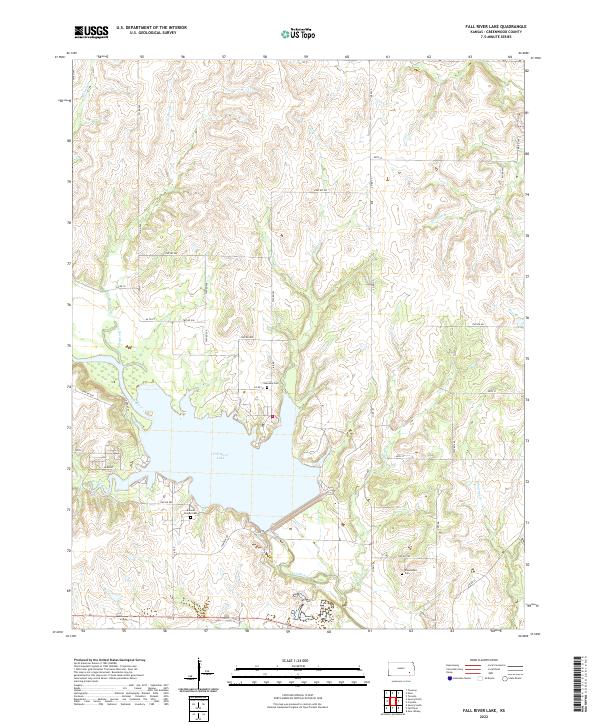
2022 Fall River Lake
Greenwood County, KS
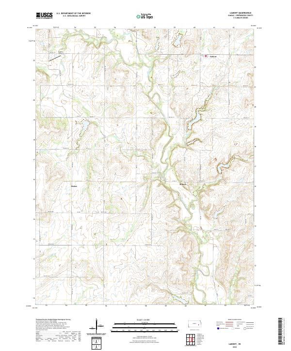
2022 Lamont
Greenwood County, KS
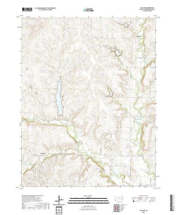
2022 Lapland
Greenwood County, KS
2022 Madison SW
Greenwood County, KS
2022 Piedmont NE
Greenwood County, KS
2022 Piedmont NW
Greenwood County, KS
2022 Reece
Greenwood County, KS
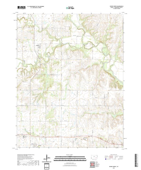
2022 Severy North
Greenwood County, KS
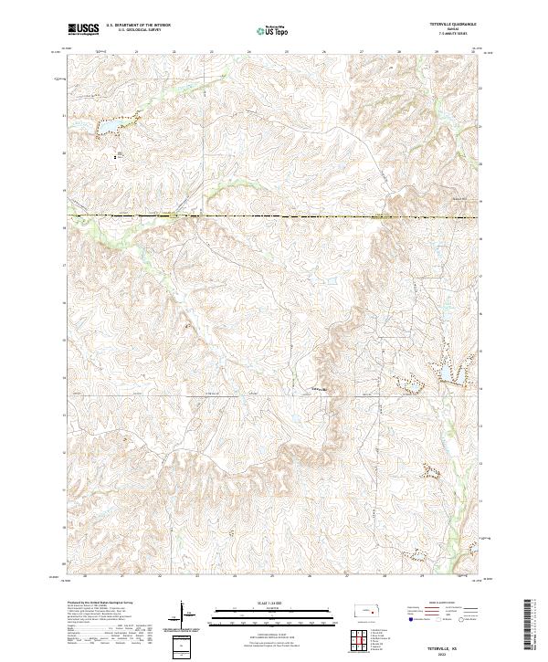
2022 Teterville
Greenwood County, KS
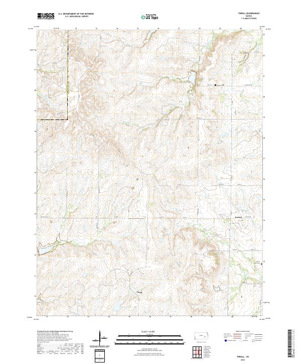
2022 Thrall
Greenwood County, KS
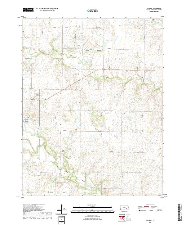
2022 Tonovay
Greenwood County, KS