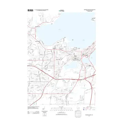
2013 Map of Madison West
USGS Topo · Published 2013About this map
Lake Mendota and Lake Monona define the geography of this 2013 survey, which details the dense urban and academic landscape of the state capital. The University of Wisconsin campus is highly visible, featuring landmarks such as Bascom Hill, Camp Randall Stadium, and the historic Washburn Observatory. Residential development is shown through a series of distinct neighborhoods and platted extensions, including Shorewood Hills, College Hills, and the Warrens Addition.
Find a feature on this map
44 named features on this map. Tap any name to fly to it.
Don’t see what you’re looking for? This feature index may not catch every label — zoom into the map to look around manually.
Map Details
Editions of this 2013 Madison West Map
This is the sole edition of this map. No revisions or reprints were ever made.
Other maps of this area

1889 · Evansville
USGS Topo · 1:62,500

1890 · Madison
USGS Topo · 1:62,500

1892 · Madison
USGS Topo · 1:62,500

1894 · Evansville
USGS Topo · 1:62,500

1904 · Madison
USGS Topo · 1:62,500

1906 · Evansville
USGS Topo · 1:62,500

1906 · Madison
USGS Topo · 1:62,500

1907 · Cross Plains
USGS Topo · 1:62,500

1909 · Cross Plains
USGS Topo · 1:62,500

1923 · New Glarus
USGS Topo · 1:62,500