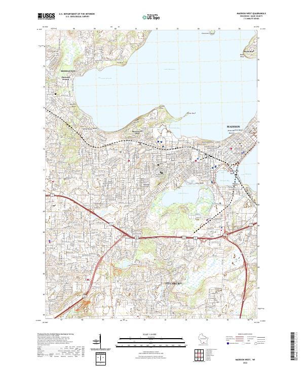
2022 Map of Madison West
USGS Topo · Published 2022About this map
The isthmus of Madison and its expanding western suburbs dominate this modern survey, revealing a landscape defined by glacial lakes and urban connectivity. The seat of Wisconsin’s government is anchored by the Wisconsin State Capitol Building and Dane County Courthouse, while the intellectual center at University of Wisconsin Extension Building and Edgewood College overlooks Lake Wingra. Natural points like Picnic Point and Governors Island extend into Lake Mendota, punctuating a shoreline dotted with community spaces like Spring Harbor Beach and Marshall Beach.
Find a feature on this map
56 named features on this map. Tap any name to fly to it.
Don’t see what you’re looking for? This feature index may not catch every label — zoom into the map to look around manually.
Map Details
Editions of this 2022 Madison West Map
This is the sole edition of this map. No revisions or reprints were ever made.
Other maps of this area

1889 · Evansville
USGS Topo · 1:62,500

1890 · Madison
USGS Topo · 1:62,500

1892 · Madison
USGS Topo · 1:62,500

1894 · Evansville
USGS Topo · 1:62,500

1904 · Madison
USGS Topo · 1:62,500

1906 · Evansville
USGS Topo · 1:62,500

1906 · Madison
USGS Topo · 1:62,500

1907 · Cross Plains
USGS Topo · 1:62,500

1909 · Cross Plains
USGS Topo · 1:62,500

1923 · New Glarus
USGS Topo · 1:62,500