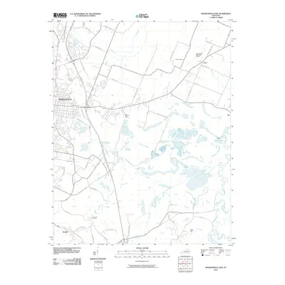
2010 Map of Madisonville East
USGS Topo · Published 2010About this map
East Diamond Mine sits east of the growing hub of Madisonville, highlighting the industrial character of this Hopkins County landscape. The eastern outskirts are marked by a transition from the dense street grids of the city to more rural settlements like Anton, Fies, and Barnsley. Waterways such as Flat Creek and the meandering Pond River define the local topography, while the north-south corridor of the Pennyrile Pkwy connects these communities to the wider region. Family and local history are preserved at sites like Hicklen Cemetery and Flat Creek Cemetery, which remain as fixed points amidst the evolving transportation network that includes the Madisonville Municipal Airport. The map captures a landscape shaped by both coal extraction and traditional agricultural routes, evidenced by the numerous named rural roads like Liberty Church Rd and Free Henry Ford Rd.
Find a feature on this map
42 named features on this map. Tap any name to fly to it.
Don’t see what you’re looking for? This feature index may not catch every label — zoom into the map to look around manually.
Map Details
Editions of this 2010 Madisonville East Map
This is the sole edition of this map. No revisions or reprints were ever made.
Other maps of this area

1907 · Earlington
USGS Topo · 1:48,000

1909 · Dawson Springs
USGS Topo · 1:48,000

1909 · Earlington
USGS Topo · 1:62,500

1909 · Madisonville
USGS Topo · 1:62,500

1911 · Dawson Springs
USGS Topo · 1:62,500

1912 · Nortonville
USGS Topo · 1:62,500

1952 · Sacramento
USGS Topo · 1:24,000

1952 · Hanson
USGS Topo · 1:24,000

1953 · Nortonville
USGS Topo · 1:24,000

1953 · Madisonville East
USGS Topo · 1:24,000