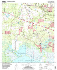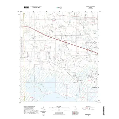
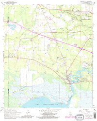
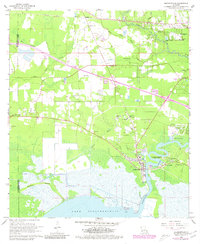
1968 Map of Madisonville
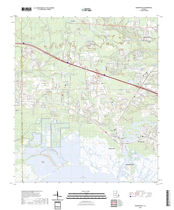
USGS Topo · Published 1973About this map
Madisonville stands as the primary gateway to Lake Pontchartrain, positioned where the Tchefuncta River enters the coastal waters. This 1968 survey, revised in 1972, documents a landscape of mixed piney woods and wetlands, where the Industrial Railroad cuts across the northern terrain through Goodbee. Local genealogy is well-supported by the naming of numerous cemeteries such as Daussin Cem, Galatas Cem, and Morse Cem, alongside community centers like the Rosenwald Sch and the Mennonite Ch. To the east, Houltonville and the Fairview Riverside State Park occupy the river's bends, while further north, Covington shows signs of early suburban expansion with the River Forest Golf Course and River Forest Academy. The transition from the marshy Blue Swamp to the developed riverbanks illustrates the historical reliance on these waterways for both industry and recreation.
Find a feature on this map
44 named features on this map. Tap any name to fly to it.
Don’t see what you’re looking for? This feature index may not catch every label — zoom into the map to look around manually.
Map Details
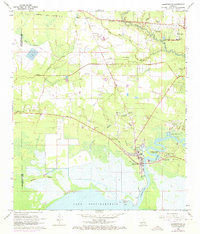
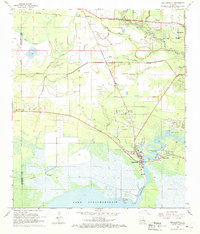
Editions of this 1968 Madisonville Map
4 editions found
Historical Maps of Mandeville Through Time
7 maps found