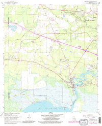
1968 Map of Madisonville
USGS Topo · Published 1980About this map
The Tchefuncta River winds toward its mouth at Lake Pontchartrain in this late 1960s survey, updated with revisions through the late 1970s. The settlement of Madisonville sits at the heart of the river's bend, while Houltonville and Fairview Riverside State Park occupy the eastern banks. This area of St. Tammany Parish shows a landscape defined by the transition from the dense marshes of Blue Swamp Creek and Miltons Island to the emerging residential and recreational developments near Covington.
Find a feature on this map
32 named features on this map. Tap any name to fly to it.
Don’t see what you’re looking for? This feature index may not catch every label — zoom into the map to look around manually.
Map Details
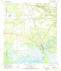
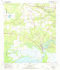
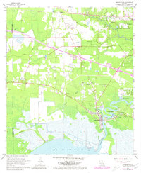
Editions of this 1968 Madisonville Map
4 editions found
Other maps of this area

1935 · Covington
USGS Topo · 1:62,500

1935 · Ponchatoula
USGS Topo · 1:62,500

1939 · Ponchatoula
USGS Topo · 1:62,500

1939 · Covington
USGS Topo · 1:62,500

1942 · Onville
USGS Topo · 1:31,680

1942 · Waldheim
USGS Topo · 1:31,680

1942 · Robert
USGS Topo · 1:31,680

1950 · Covington
USGS Topo · 1:62,500

1951 · Ponchatoula
USGS Topo · 1:62,500

1954 · Folsom
USGS Topo · 1:62,500