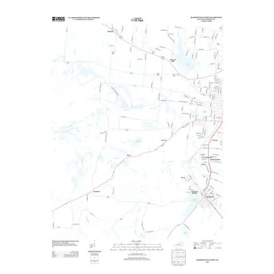
2013 Map of Madisonville West
USGS Topo · Published 2013About this map
Lake Peewee and Loch Mary Reservoir anchor the eastern landscape of this Hopkins County region, where the urban outskirts of Madisonville meet a patchwork of coal-country settlements. The map documents a dense network of smaller communities including Hecla, Wesco, and Victoria, alongside established residential areas like West Side Heights and Dozier Heights. The road system is particularly intricate, with family-named routes such as Bob Corpus Rd and Tucker Schoolhouse Rd suggesting deep-rooted local history and former institutional landmarks.
Find a feature on this map
158 named features on this map. Tap any name to fly to it.
Don’t see what you’re looking for? This feature index may not catch every label — zoom into the map to look around manually.
Map Details
Editions of this 2013 Madisonville West Map
This is the sole edition of this map. No revisions or reprints were ever made.
Other maps of this area

1907 · Earlington
USGS Topo · 1:48,000

1909 · Dawson Springs
USGS Topo · 1:48,000

1909 · Earlington
USGS Topo · 1:62,500

1909 · Madisonville
USGS Topo · 1:62,500

1911 · Dawson Springs
USGS Topo · 1:62,500

1912 · Nortonville
USGS Topo · 1:62,500

1952 · Hanson
USGS Topo · 1:24,000

1953 · Nortonville
USGS Topo · 1:24,000

1953 · Madisonville East
USGS Topo · 1:24,000

1954 · Evansville
USGS Topo · 1:250,000