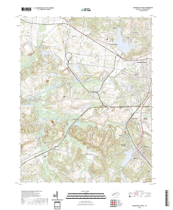
2022 Map of Madisonville West
USGS Topo · Published 2022About this map
Madisonville serves as the primary urban center in this part of western Kentucky, situated just north of the industrial and residential corridors of Earlington and Wesco. The landscape is defined by a dense network of water bodies and family cemeteries, suggesting a deeply rooted rural history. Major reservoirs like Lake Peewee and the Loch Mary Reservoir provide significant water resources for the surrounding communities, while smaller settlements such as Hecla, Oriole, and Richland dot the rolling terrain.
Find a feature on this map
50 named features on this map. Tap any name to fly to it.
Don’t see what you’re looking for? This feature index may not catch every label — zoom into the map to look around manually.
Map Details
Editions of this 2022 Madisonville West Map
This is the sole edition of this map. No revisions or reprints were ever made.
Other maps of this area

1907 · Earlington
USGS Topo · 1:48,000

1909 · Dawson Springs
USGS Topo · 1:48,000

1909 · Earlington
USGS Topo · 1:62,500

1909 · Madisonville
USGS Topo · 1:62,500

1911 · Dawson Springs
USGS Topo · 1:62,500

1912 · Nortonville
USGS Topo · 1:62,500

1952 · Hanson
USGS Topo · 1:24,000

1953 · Nortonville
USGS Topo · 1:24,000

1953 · Madisonville East
USGS Topo · 1:24,000

1954 · Evansville
USGS Topo · 1:250,000