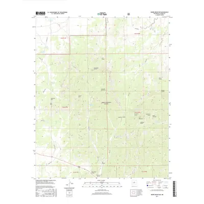
2017 Map of Madre Mountain
USGS Topo · Published 2017About this map
The Sawtooth Mountains and the Datil Mountains converge in this high-altitude landscape within the Cibola National Forest. The terrain is characterized by a complex network of drainages such as Pino Draw and Z Slash Draw, alongside numerous named canyons including White Deer Canyon and Gooseberry Canyon. These natural features suggest a rugged environment where water management was historically critical for ranching and forest operations, evidenced by the distribution of catchment points like Sawtooth Tank, Red Tank, and Webster Tank.
Find a feature on this map
43 named features on this map. Tap any name to fly to it.
Don’t see what you’re looking for? This feature index may not catch every label — zoom into the map to look around manually.
Map Details
Editions of this 2017 Madre Mountain Map
This is the sole edition of this map. No revisions or reprints were ever made.
Other maps of this area

1954 · Saint Johns
USGS Topo · 1:250,000

1954 · Socorro
USGS Topo · 1:250,000

1957 · Saint Johns
USGS Topo · 1:250,000

1958 · Socorro
USGS Topo · 1:250,000

1958 · Saint Johns
USGS Topo · 1:250,000

1962 · Socorro
USGS Topo · 1:250,000

1962 · Saint Johns
USGS Topo · 1:250,000

1963 · Cal Ship Mesa
USGS Topo · 1:24,000

1963 · Datil
USGS Topo · 1:24,000

1964 · Third Canyon
USGS Topo · 1:24,000