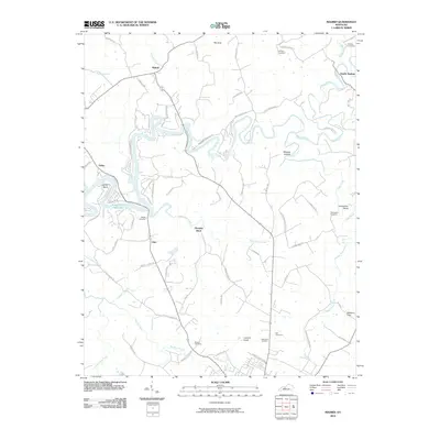
2010 Map of Madrid
USGS Topo · Published 2010About this map
Rough River snakes through the heart of this Kentucky landscape, its winding course defining the geography near the small settlements of Madrid and Hardin Springs. The 2010 terrain is marked by the sprawling Rough River Reservoir to the west, which transformed the local drainage patterns of Clifty Creek and Long Hollow Branch. Local history is preserved through numerous family and community burial grounds, such as Watson Cemetery, Hazelwood Cemetery, and Mullin Cemetery, often situated near rural junctions like Lilac.
Find a feature on this map
71 named features on this map. Tap any name to fly to it.
Don’t see what you’re looking for? This feature index may not catch every label — zoom into the map to look around manually.
Map Details
Editions of this 2010 Madrid Map
This is the sole edition of this map. No revisions or reprints were ever made.
Other maps of this area

1922 · Leitchfield
USGS Topo · 1:48,000

1925 · Cub Run
USGS Topo · 1:62,500

1925 · Leitchfield
USGS Topo · 1:62,500

1932 · Big Clifty
USGS Topo · 1:62,500

1949 · Constantine
USGS Topo · 1:24,000

1949 · Big Clifty
USGS Topo · 1:24,000

1949 · Big Clifty
USGS Topo · 1:62,500

1953 · Custer
USGS Topo · 1:24,000

1953 · Mc Daniels
USGS Topo · 1:24,000

1953 · Kingswood
USGS Topo · 1:24,000