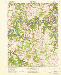
1963 Map of Madrid
USGS Topo · Published 1976About this map
The winding waters of Rough River Lake dominate this 1960s landscape, illustrating the impact of modern water management on the rural border between Breckinridge, Hardin, and Grayson Counties. While the reservoir fills the deep valleys of the Rough River and its many tributaries like Meeting Creek, the surrounding ridges preserve the older settlement patterns of the region. Small hamlets and crossroads communities such as Madrid, Eveleigh, and Lilac are linked by winding roads that connect long-established landmarks. The map captures a detailed inventory of local heritage, from the Antioch Ch and its neighboring cemetery to the Boy Scout Camp along the riverbanks. To the south, the periphery of Leitchfield begins to emerge, marked by the County Fairgrounds and Memorial Gardens, showing the early stages of suburban expansion near the more traditional farmsteads and schools like Conklin Sch.
Find a feature on this map
50 named features on this map. Tap any name to fly to it.
Don’t see what you’re looking for? This feature index may not catch every label — zoom into the map to look around manually.
Map Details
Editions of this 1963 Madrid Map
2 editions found
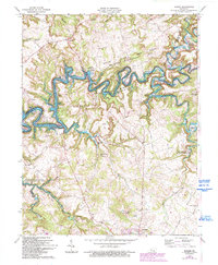
Other maps of this area

1922 · Leitchfield
USGS Topo · 1:48,000

1925 · Cub Run
USGS Topo · 1:62,500

1925 · Leitchfield
USGS Topo · 1:62,500

1932 · Big Clifty
USGS Topo · 1:62,500

1949 · Constantine
USGS Topo · 1:24,000

1949 · Big Clifty
USGS Topo · 1:24,000

1949 · Big Clifty
USGS Topo · 1:62,500

1953 · Custer
USGS Topo · 1:24,000

1953 · Mc Daniels
USGS Topo · 1:24,000

1953 · Kingswood
USGS Topo · 1:24,000