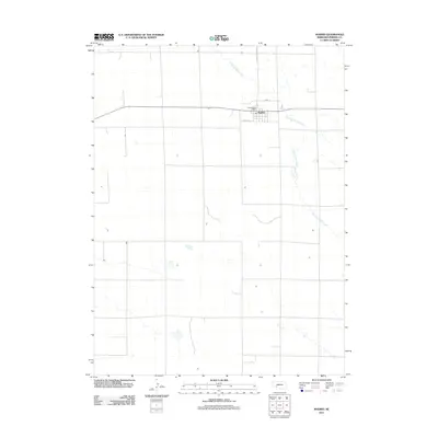
2011 Map of Madrid
USGS Topo · Published 2011About this map
Madrid serves as the primary hub of this Perkins County landscape, situated where the high plains meet the winding course of Stinking Water Creek. The town's layout is centered around its core infrastructure, featuring the Madrid Post Office and a grid of local thoroughfares including Stone St and Howell St. Outside the small residential and commercial center, the map reveals a highly structured agricultural environment, with massive square sections characteristic of Nebraska’s rural survey system. Transportation through the area is anchored by Madrid Roscoe Rd, connecting the community to the wider region. This record captures the delicate balance between a settled community and the intermittent waterways that define the hydrology of the western prairie.
Find a feature on this map
6 named features on this map. Tap any name to fly to it.
Don’t see what you’re looking for? This feature index may not catch every label — zoom into the map to look around manually.
Map Details
Editions of this 2011 Madrid Map
This is the sole edition of this map. No revisions or reprints were ever made.
Other maps of this area

1954 · McCook
USGS Topo · 1:250,000

1957 · McCook
USGS Topo · 1:250,000

1958 · McCook
USGS Topo · 1:250,000
1973 · Grant NE
USGS Topo · 1:24,000

1973 · Imperial NE
USGS Topo · 1:24,000
1973 · Elsie NW
USGS Topo · 1:24,000

1973 · Dittons Creek NW
USGS Topo · 1:24,000
1973 · Grant
USGS Topo · 1:24,000
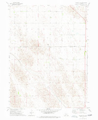
1973 · Imperial NW
USGS Topo · 1:24,000
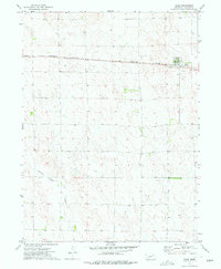
1973 · Elsie
USGS Topo · 1:24,000