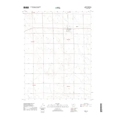
2017 Map of Madrid
USGS Topo · Published 2017About this map
Madrid serves as the central hub of this Perkins County landscape, situated where the grid of town streets meets the sprawling agricultural sections of southwestern Nebraska. The town layout is clearly defined by historical thoroughfares such as Stone St and Howell St, with the local Po marking the civic heart of the community. Outside the residential blocks, the terrain is shaped by the winding path of Stinking Water Cr, which cuts across the high plains. A dense network of rural routes, including the Madrid Roscoe Rd and numerous numbered section roads like RD 760, illustrates the methodical division of land for farming and ranching. The map captures the enduring structure of the Public Land Survey System, showing the townships and ranges that have organized this prairie region since the era of early settlement.
Find a feature on this map
33 named features on this map. Tap any name to fly to it.
Don’t see what you’re looking for? This feature index may not catch every label — zoom into the map to look around manually.
Map Details
Editions of this 2017 Madrid Map
This is the sole edition of this map. No revisions or reprints were ever made.
Other maps of this area

1954 · McCook
USGS Topo · 1:250,000

1957 · McCook
USGS Topo · 1:250,000

1958 · McCook
USGS Topo · 1:250,000
1973 · Grant NE
USGS Topo · 1:24,000

1973 · Imperial NE
USGS Topo · 1:24,000
1973 · Elsie NW
USGS Topo · 1:24,000

1973 · Dittons Creek NW
USGS Topo · 1:24,000
1973 · Grant
USGS Topo · 1:24,000
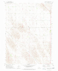
1973 · Imperial NW
USGS Topo · 1:24,000
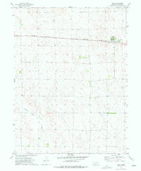
1973 · Elsie
USGS Topo · 1:24,000