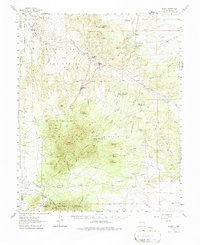
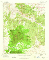
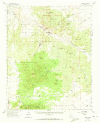
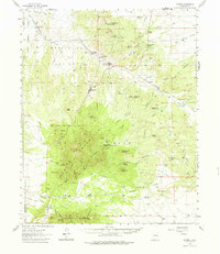
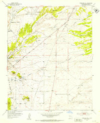
1961 Map of Madrid
USGS Topo · Published 1987About this map
The Ortiz Mountains and the surrounding mining districts define this landscape south of Santa Fe, New Mexico. At the center of the sheet, the town of Madrid sits within the Ortiz Mine Grant, a region historically significant for its coal and gold deposits. To the north, the Atchison Topeka and Santa Fe railroad snakes along Galisteo Creek, serving the settlements of Rosario, Waldo, and Cerrillos. This transportation corridor was vital for the extraction economy, linking the mines to broader markets.
Find a feature on this map
85 named features on this map. Tap any name to fly to it.
Don’t see what you’re looking for? This feature index may not catch every label — zoom into the map to look around manually.
Map Details
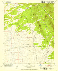
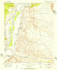
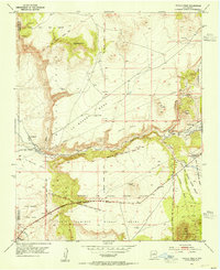
Editions of this 1961 Madrid Map
4 editions found
Other maps of this area

1889 · Santa Fe
USGS Topo · 1:125,000

1892 · San Pedro
USGS Topo · 1:125,000

1892 · Santa Clara
USGS Topo · 1:125,000

1894 · Santa Fe
USGS Topo · 1:125,000

1894 · Lamy
USGS Topo · 1:125,000

1951 · Turquoise Hill
USGS Topo · 1:24,000
1952 · Turquoise Hill
USGS Topo · 1:24,000
1952 · Seton Village
USGS Topo · 1:24,000
1953 · Santo Domingo Pueblo
USGS Topo · 1:24,000
1953 · Tetilla Peak
USGS Topo · 1:24,000