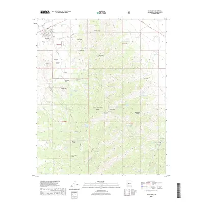
2020 Map of Magdalena
USGS Topo · Published 2020About this map
The Magdalena township and the settlement of Kelly anchor this high-altitude landscape in the Socorro County mountains. The terrain is defined by the steep elevation changes between Magdalena Peak and North Baldy, with drainage systems like Patterson Canyon and Kelly Gulch carving through the mountain faces. A complex network of springs, such as Tip Top Spring, McDonald Spring, and Garcia Canyon Spring, reflects the vital water management required in this environment, including the protected Magdalena Municipal Water Shed.
Find a feature on this map
65 named features on this map. Tap any name to fly to it.
Don’t see what you’re looking for? This feature index may not catch every label — zoom into the map to look around manually.
Map Details
Editions of this 2020 Magdalena Map
This is the sole edition of this map. No revisions or reprints were ever made.
Other maps of this area

1954 · Tularosa
USGS Topo · 1:250,000

1954 · Socorro
USGS Topo · 1:250,000

1958 · Socorro
USGS Topo · 1:250,000

1958 · Tularosa
USGS Topo · 1:250,000

1959 · Magdalena
USGS Topo · 1:62,500

1962 · Socorro
USGS Topo · 1:250,000

1963 · Arroyo Landavaso
USGS Topo · 1:24,000

1964 · Silver Hill
USGS Topo · 1:24,000
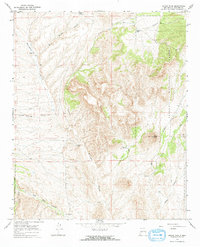
1965 · Squaw Peak
USGS Topo · 1:24,000
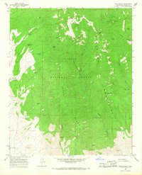
1965 · South Baldy
USGS Topo · 1:24,000