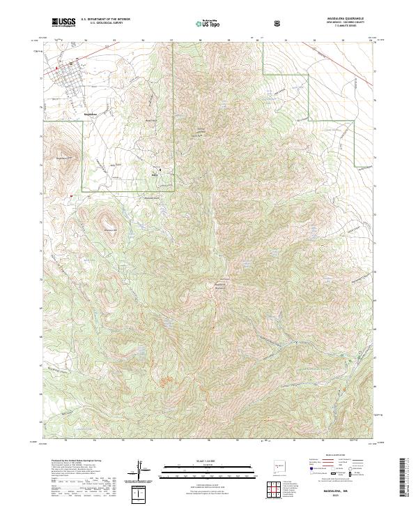
2023 Map of Magdalena
USGS Topo · Published 2023About this map
The high-altitude mining and ranching country of Socorro County is centered here on the town of Magdalena, a historic western railhead and livestock shipping point. Just to the south, the settlement of Kelly sits at the base of the mountains, accompanied by the Kelly Cem, preserving the history of what was once a booming lead, silver, and zinc district. The landscape is dominated by the steep, dramatic rises of the Magdalena Mountains, where North Baldy and Magdalena Peak overlook deep drainages like Hop Canyon and Kelly Gulch.
Find a feature on this map
81 named features on this map. Tap any name to fly to it.
Don’t see what you’re looking for? This feature index may not catch every label — zoom into the map to look around manually.
Map Details
Editions of this 2023 Magdalena Map
This is the sole edition of this map. No revisions or reprints were ever made.
Other maps of this area

1954 · Tularosa
USGS Topo · 1:250,000

1954 · Socorro
USGS Topo · 1:250,000

1958 · Socorro
USGS Topo · 1:250,000

1958 · Tularosa
USGS Topo · 1:250,000

1959 · Magdalena
USGS Topo · 1:62,500

1962 · Socorro
USGS Topo · 1:250,000

1963 · Arroyo Landavaso
USGS Topo · 1:24,000

1964 · Silver Hill
USGS Topo · 1:24,000
1965 · Squaw Peak
USGS Topo · 1:24,000
1965 · South Baldy
USGS Topo · 1:24,000