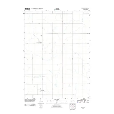
2011 Map of Magnet
USGS Topo · Published 2011About this map
Magnet and McLean anchor this agricultural landscape in northeast Nebraska, where the section-line road grid organizes the territory into precise squares. Located in Cedar County, these small settlements are centered on their respective civic hubs, the Magnet Post Office and McLean Post Office. The topography is defined by subtle drainage patterns, notably the Yankton Slough and the East Branch North Fork Elkhorn River, which wind through the fields alongside Middle Logan Creek. The local history of transportation is visible in the alignment of Railroad St in Magnet, reflecting the era when rail connections were vital for moving grain and livestock to market. Outside the town centers, the Magnet Cemetery provides a primary genealogical touchstone for the area's rural families.
Find a feature on this map
25 named features on this map. Tap any name to fly to it.
Don’t see what you’re looking for? This feature index may not catch every label — zoom into the map to look around manually.
Map Details
Editions of this 2011 Magnet Map
This is the sole edition of this map. No revisions or reprints were ever made.
Other maps of this area

1955 · Sioux City
USGS Topo · 1:250,000

1958 · Sioux City
USGS Topo · 1:250,000

1959 · Sioux City
USGS Topo · 1:250,000

1963 · Osmond
USGS Topo · 1:24,000

1968 · Hartington
USGS Topo · 1:24,000

1968 · Hartington SW
USGS Topo · 1:24,000

1968 · Bloomfield SE
USGS Topo · 1:24,000

1971 · Wausa
USGS Topo · 1:24,000

1971 · Randolph South
USGS Topo · 1:24,000

1971 · Randolph North
USGS Topo · 1:24,000