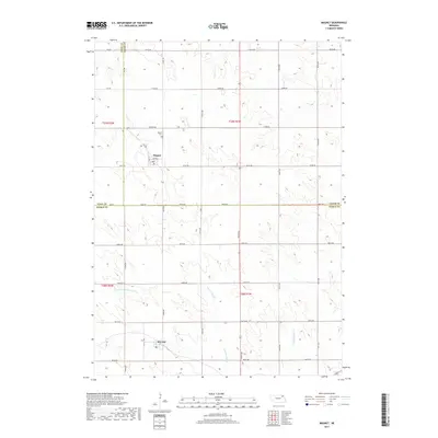
2017 Map of Magnet
USGS Topo · Published 2017About this map
Magnet and McLean anchor this 2017 survey of the plains at the intersection of Cedar, Pierce, and Knox counties. The landscape is defined by the section-line road grid that characterizes Nebraska's agricultural heartland, while the natural drainage of the E Br N Fork Elkhorn River and Yankton Slough break the geometric symmetry. Genealogists can locate the Magnet Cem situated just north of the Magnet village center, providing a specific point of reference for local family history research. Further south, the map traces the winding course of Middle Logan Cr through the township of t28n r1w, illustrating how these watercourses influenced the placement of farms and roads in the late 20th and early 21st centuries. The layout of McLean shows the concentrated settlement pattern typical of small rail-era villages that survived into the modern highway era.
Find a feature on this map
26 named features on this map. Tap any name to fly to it.
Don’t see what you’re looking for? This feature index may not catch every label — zoom into the map to look around manually.
Map Details
Editions of this 2017 Magnet Map
This is the sole edition of this map. No revisions or reprints were ever made.
Other maps of this area

1955 · Sioux City
USGS Topo · 1:250,000

1958 · Sioux City
USGS Topo · 1:250,000

1959 · Sioux City
USGS Topo · 1:250,000

1963 · Osmond
USGS Topo · 1:24,000

1968 · Hartington
USGS Topo · 1:24,000

1968 · Hartington SW
USGS Topo · 1:24,000

1968 · Bloomfield SE
USGS Topo · 1:24,000

1971 · Wausa
USGS Topo · 1:24,000

1971 · Randolph South
USGS Topo · 1:24,000

1971 · Randolph North
USGS Topo · 1:24,000