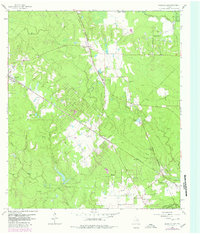
1962 Map of Magnolia East
USGS Topo · Published 1980About this map
Magnolia and the surrounding piney woods of south Montgomery County appear here during a transitional period of energy development and rural growth. The landscape is defined by the intersection of major rail lines, including the Fort Worth and Denver and the Missouri Pacific, which shaped the early development of settlements like Pinehurst and Mostyn. Significant industrial activity is visible in the Decker Prairie Oil Field and the Pinehurst Gas and Oil Field, alongside specialized facilities like the Cycling Plant.
Find a feature on this map
42 named features on this map. Tap any name to fly to it.
Don’t see what you’re looking for? This feature index may not catch every label — zoom into the map to look around manually.
Map Details
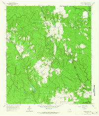
Editions of this 1962 Magnolia East Map
2 editions found
Other maps of this area

1916 · Rose Hill
USGS Topo · 1:24,000

1916 · Louetta
USGS Topo · 1:24,000

1916 · Hockley
USGS Topo · 1:24,000

1920 · Hockley
USGS Topo · 1:31,680

1920 · Rose Hill
USGS Topo · 1:31,680

1920 · Louetta
USGS Topo · 1:31,680

1954 · Beaumont
USGS Topo · 1:250,000

1957 · Beaumont
USGS Topo · 1:250,000

1958 · Cowl Spur
USGS Topo · 1:24,000

1962 · Keenan
USGS Topo · 1:24,000