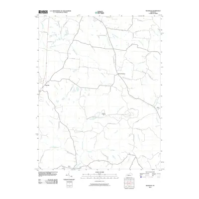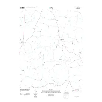
2022 Map of Magnolia
USGS Topo · Published 2022About this map
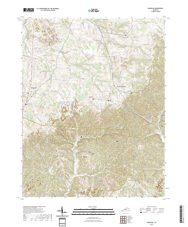
The community of Magnolia serves as a local anchor in this region of Kentucky where the borders of Larue, Green, and Hart counties converge. The landscape is defined by a dense network of country roads and family-named landmarks, such as J E Jones Rd and Dennis Whitlow Rd, which connect various rural settlements. Several religious and commemorative sites are scattered throughout the area, including Bennington Chapel and the Mount Moriah Baptist Church. For those researching local lineages, the map identifies numerous burial grounds such as the Gore-Skaggs Family Cem and the Old Mount Sherman Cem near Mount Sherman. The drainage pattern is led by Bacon Cr and Brushy Fork, carving through the terrain alongside historical routes like the S L & N Tpke.
Find a feature on this map
90 named features on this map. Tap any name to fly to it.
Don’t see what you’re looking for? This feature index may not catch every label — zoom into the map to look around manually.
Map Details
Editions of this 2022 Magnolia Map
This is the sole edition of this map. No revisions or reprints were ever made.
Historical Maps of Creal Through Time
7 maps found