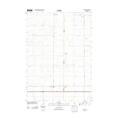
2013 Map of Magnolia
USGS Topo · Published 2013About this map
The Magnolia settlement sits at the intersection of local routes and the modern highway corridor, serving as a focal point for this rural landscape in Rock County. The terrain is defined by the Coteau des Prairies, a vast plateau that shapes the drainage of local waterways like Elk Cr and Champepadan Cr. This agricultural region is punctuated by small community centers and family-run operations such as Knips Hog Farms, illustrating the persistent farming character of southwestern Minnesota. For genealogists and local historians, several burial sites provide important touchstones across the township lines, including Saint Marys Cem in the northeast and Kenneth Cem near the town of Kenneth. The map also records the boundary line between Rock and Nobles counties, where Westside Cem is situated.
Find a feature on this map
29 named features on this map. Tap any name to fly to it.
Don’t see what you’re looking for? This feature index may not catch every label — zoom into the map to look around manually.
Map Details
Editions of this 2013 Magnolia Map
This is the sole edition of this map. No revisions or reprints were ever made.
Other maps of this area

1954 · Fairmont
USGS Topo · 1:250,000

1955 · Sioux Falls
USGS Topo · 1:250,000

1958 · Sioux Falls
USGS Topo · 1:250,000

1958 · Fairmont
USGS Topo · 1:250,000

1967 · Edgerton South
USGS Topo · 1:24,000

1967 · Slayton SW
USGS Topo · 1:24,000

1967 · Magnolia
USGS Topo · 1:24,000

1967 · Kenneth
USGS Topo · 1:24,000

1967 · Adrian SW
USGS Topo · 1:24,000

1967 · Adrian
USGS Topo · 1:24,000