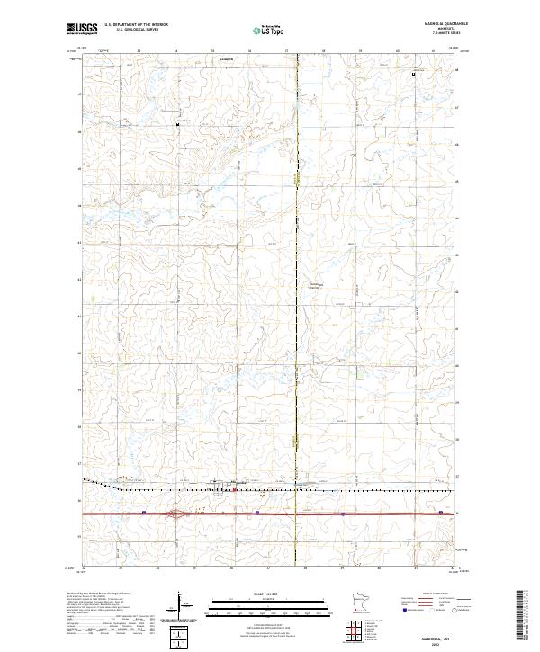
2022 Map of Magnolia
USGS Topo · Published 2022About this map
The town of Magnolia and the village of Kenneth define this agricultural landscape on the border of Rock and Nobles counties. Situated upon the Coteau des Prairies upland, the area is characterized by a high-altitude plateau where drainage patterns like Champepadan Cr and Elk Cr weave through a strictly gridded section-line road network. This layout reflects the late-stage prairie settlement patterns of southwest Minnesota, where small municipalities were spaced along transportation corridors.
Find a feature on this map
43 named features on this map. Tap any name to fly to it.
Don’t see what you’re looking for? This feature index may not catch every label — zoom into the map to look around manually.
Map Details
Editions of this 2022 Magnolia Map
This is the sole edition of this map. No revisions or reprints were ever made.
Other maps of this area

1954 · Fairmont
USGS Topo · 1:250,000

1955 · Sioux Falls
USGS Topo · 1:250,000

1958 · Sioux Falls
USGS Topo · 1:250,000

1958 · Fairmont
USGS Topo · 1:250,000

1967 · Edgerton South
USGS Topo · 1:24,000

1967 · Slayton SW
USGS Topo · 1:24,000

1967 · Magnolia
USGS Topo · 1:24,000

1967 · Kenneth
USGS Topo · 1:24,000

1967 · Adrian SW
USGS Topo · 1:24,000

1967 · Adrian
USGS Topo · 1:24,000