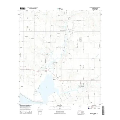
2014 Map of Magnolia Springs
USGS Topo · Published 2014About this map
The Fish River and its meandering tributaries dominate this Baldwin County landscape, draining south into the wide expanse of Weeks Bay. Near the center of the sheet, the settlement of Clay City and the nearby Timney S River Park Community Cem mark the river's path, while further south, the Magnolia River flows through the community of Magnolia Springs. The terrain reflects the low-lying coastal geography of the area, featuring named wetlands like The Meadows and prominent points such as Fish River Point where the bay meets Bon Secour Bay.
Find a feature on this map
181 named features on this map. Tap any name to fly to it.
Don’t see what you’re looking for? This feature index may not catch every label — zoom into the map to look around manually.
Map Details
Editions of this 2014 Magnolia Springs Map
This is the sole edition of this map. No revisions or reprints were ever made.
Other maps of this area

1920 · Robertsdale
USGS Topo · 1:62,500

1921 · Bon Secour
USGS Topo · 1:62,500

1921 · Point Clear
USGS Topo · 1:62,500

1921 · Fairhope
USGS Topo · 1:62,500

1939 · Daphne
USGS Topo · 1:31,680

1940 · Silverhill
USGS Topo · 1:31,680

1941 · Daphne
USGS Topo · 1:31,680

1941 · Silverhill
USGS Topo · 1:31,680

1941 · Robertsdale
USGS Topo · 1:62,500

1941 · Foley
USGS Topo · 1:62,500