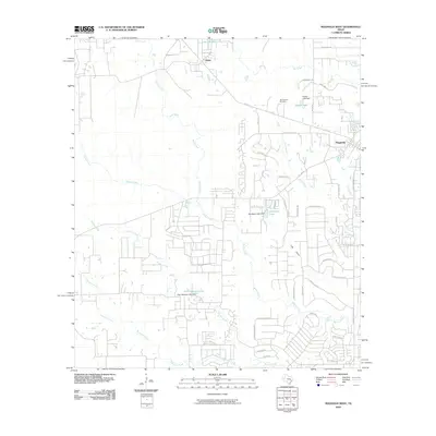
2010 Map of Magnolia West
USGS Topo · Published 2010About this map
The settlement of Magnolia anchoring the eastern edge of this quadrangle shows a landscape transitioning from rural agricultural roots to residential development at the start of the 21st century. The map provides a detailed view of the water management systems across Montgomery County, featuring multiple engineered structures such as the Kachel Lake Dam, Woodland Lake Dam, and Club Lakeview Lake Dam. These impoundments along the local drainage basins like Walnut Creek and Mink Branch reflect the shifting land use from open timber or farm acreage to modern suburban subdivisions.
Find a feature on this map
47 named features on this map. Tap any name to fly to it.
Don’t see what you’re looking for? This feature index may not catch every label — zoom into the map to look around manually.
Map Details
Editions of this 2010 Magnolia West Map
This is the sole edition of this map. No revisions or reprints were ever made.
Other maps of this area

1916 · Rose Hill
USGS Topo · 1:24,000

1916 · Hockley
USGS Topo · 1:24,000

1920 · Hockley
USGS Topo · 1:31,680

1920 · Rose Hill
USGS Topo · 1:31,680

1920 · Waller
USGS Topo · 1:31,680

1954 · Beaumont
USGS Topo · 1:250,000

1957 · Beaumont
USGS Topo · 1:250,000

1960 · Waller
USGS Topo · 1:24,000

1960 · Waller NW
USGS Topo · 1:24,000

1961 · Stoneham
USGS Topo · 1:24,000