
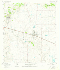
1960 Map of Waller
USGS Topo · Published 1961About this map
The Prairie View A & M College campus and the surrounding agricultural landscape define this 1960 survey of the Waller Co Harris Co border. At this time, the town of Waller serves as a central hub for the region's transportation network, situated at the junction of the Texas and New Orleans and Southern Pacific railroads. The map records several localized landmarks of mid-century life, including a Drive-in Theater and a nearby Athletic Field.
Find a feature on this map
22 named features on this map. Tap any name to fly to it.
Don’t see what you’re looking for? This feature index may not catch every label — zoom into the map to look around manually.
Map Details
Editions of this 1960 Waller Map
4 editions found
Other maps of this area

1916 · Hockley
USGS Topo · 1:24,000

1916 · Swanson
USGS Topo · 1:24,000

1919 · Swanson
USGS Topo · 1:31,680

1920 · Hockley
USGS Topo · 1:31,680

1920 · Waller
USGS Topo · 1:31,680

1950 · Houston
USGS Topo · 1:250,000

1953 · Seguin
USGS Topo · 1:250,000

1954 · Beaumont
USGS Topo · 1:250,000

1954 · Austin
USGS Topo · 1:250,000

1955 · Brookshire
USGS Topo · 1:62,500